
Discover Ołownik
Accommodation in Ołownik
Ołownik brings together the Węgorapa, a distinctive river landscape, and traces of history. The kayaking route, the old oak avenue, and the park at the entrance to the village are particularly worth considering when planning your trip.
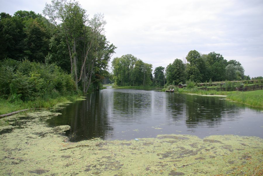
Ołownik at a glance
- The weir and small hydroelectric plant on the Węgorapa were built before 1939; the buildings are privately owned.
- A historic oak avenue leads to Ołownik and has been divided by the state border since 1946.
- Ołownik and Pochwałki are located in the Doliny Gołdapy i Węgorapy Protected Landscape Area.
- A large park lies at the entrance to the village from the direction of Węgorzewo. A 2025 municipal plan describes it as neglected; nine beeches remain protected as natural monuments.
- The Węgorapa near Ołownik is a kayaking route with natural obstacles, including fallen trees and branches.
What landscape and cultural features define the village?
The oak avenue and the weir point to different aspects of the village’s history. The avenue leads to Ołownik and has been divided by the state border since 1946. The weir and small hydroelectric plant, built before 1939, stand on the Węgorapa. The buildings are privately owned, so their history can be appreciated from outside as part of the village landscape, without planning a visit inside.
The park at the entrance to the village from the direction of Węgorzewo also brings together landscape and local features: nine beeches remain protected as natural monuments. At the same time, the 2025 municipal plan describes the large park as neglected. On a broader landscape scale, Ołownik and Pochwałki lie within the Doliny Gołdapy i Węgorapy Protected Landscape Area. In this relatively small area, protected nature, historic structures, and an avenue divided by the border come together.
What should you keep in mind when kayaking?
At the hydroelectric plant, kayaks should land on the right bank near the water intake. The portage route then crosses the road 150 metres downstream from the plant. Re-entry is before the bridge, from a municipal meadow. Overnight stays may also be possible in this meadow.
Continuing downstream is possible only when water levels are high. At low water, it depends on whether the hydroelectric plant is operating. Fallen trees and branches are also among the natural obstacles on the Węgorapa near Ołownik. Check river conditions before setting out and take into account both the portage and the possible dependence on water levels and plant operations.
The kayaking route is part of a longer stretch of river: in Węgorzewo, the Węgorapa is canalised, then flows calmly through meadows. Further downstream, it forms a gorge known as Jar Węgorapy, which ends at the floodplains before the hydroelectric plant in Ołownik. This places the local stretch within a varied regional river landscape, without implying that conditions are the same along the entire route.
How can you decide whether Ołownik is right for your trip?
If you are looking for a destination with a river landscape, kayaking, and specific historic features, Ołownik offers several different points of interest. Your choice depends on what you want to shape your trip: historic traces such as the oak avenue and the weir, the protected landscape, or the practical planning of a kayaking trip.
Discover more destinations: Wesołowo, Kuty, Jakunówko, Stręgielek, Trygort, Pawłowo, Budry, Pozezdrze.
FAQ
Where should you portage kayaks at the hydroelectric plant?
Kayaks should land on the right bank near the water intake. The portage route crosses the road 150 metres downstream from the plant; re-entry is before the bridge, from a municipal meadow.
What does continuing on the Węgorapa depend on?
Continuing downstream is possible when water levels are high. At low water, it depends on whether the hydroelectric plant is operating. Natural obstacles such as fallen trees and branches are also part of the route near Ołownik.
What historic features can be found in Ołownik?
The weir and small hydroelectric plant on the Węgorapa were built before 1939. A historic oak avenue leads to Ołownik and has been divided by the state border since 1946.
For the broader travel overview: Węgorzewski.

