
Moieciu De Jos: Cascades and Cycling Routes
Accommodation in Moieciu De Jos
The Cascadele Moieciului bio-geological protected area is located on the road between Moieciu de Jos and Moieciu de Sus. On the banks of the Pârâul Turcu, two watercourses emerge from a rock face and plunge down as cascades 15–20 m high. Thus, at this natural site, a clearly defined geological feature coincides with a specific location between the two Moieciu villages.
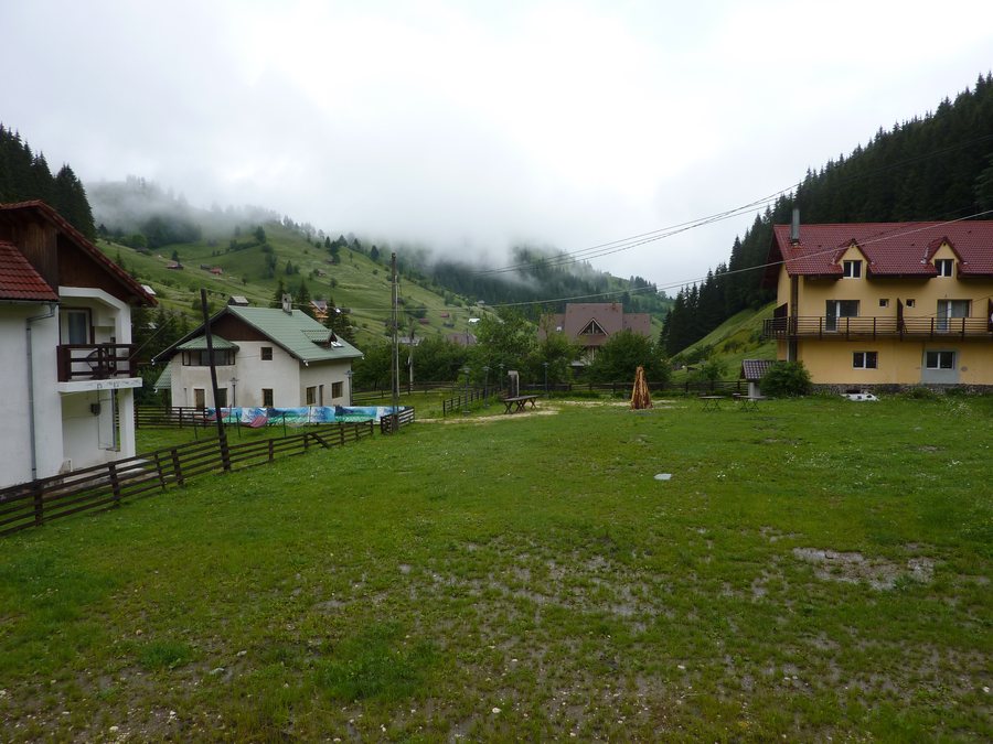
Nature
The cascades are closely associated with the Pârâul Turcu and the rock face. The information about the two watercourses and their height of fall describes the site more precisely than a general designation for a landscape or body of water. At the same time, the road between Moieciu de Jos and Moieciu de Sus remains the geographical reference point of the protected area.
Geographical context
Moieciu de Jos is located on the DN 73, approximately 30 km from Brașov. The DJ 112F connects Moieciu de Jos with Cheia and Moieciu de Sus. The two road references indicate different spatial relationships: the DN 73 places the village in relation to Brașov, while the DJ 112F describes the connection within the surrounding area.
In the vicinity of Moieciu de Jos, the tourist information centre in Bran provides brochures, maps, guidebooks and information for the Bran–Moieciu–Fundata area. These materials therefore relate not only to the village itself, but to the entire area mentioned.
To explore other places, you can also include Tohanu Nou, Rotbav, Tărlungeni, Victoria, Predeluț, Râşnov, Holtesdorf and Bunești.
Cycling
Cycling Route 7 forms a loop from Zărnești via Măgura, Peștera and Moieciu de Jos, returning via Măgura to Zărnești. It is classified as moderately difficult. Its loop shape clearly distinguishes it from the route connecting Moieciu de Jos with Moieciu de Sus and Valea Băngăleasa.
The Moieciu de Jos–Moieciu de Sus–Valea Băngăleasa cycling route is approximately 12 km long each way. It has a very gentle incline and follows the Pârâul Turcu to the end of Moieciu de Sus. After Moieciu de Sus, the route continues for approximately 2 km through the forest on a forest track. The route therefore includes a section along the stream and a subsequent forest section with a different surface.
The route can be ridden on any type of bicycle on the paved section. It starts at the Moieciu de Jos town hall. For comparing the two routes, their loop shape, approximate length, gradient, surface and course can therefore be considered separately, rather than combining them into a single route description.
With its moderate difficulty rating and route via Zărnești, Măgura, Peștera and Moieciu de Jos, Route 7 represents a different type of route from the approximately 12 km connection towards Moieciu de Sus. The second route has its own additional characteristics: the very gentle incline, the paved section and the approximately 2 km continuation on a forest track.
For the overarching travel overview: Brasov.

.jpg)