
Râu Bărbat – Roman Fort, Glacial Lake and Hiking Trails
Accommodation in Râu Bărbat
The Râu Bărbat–Cetate archaeological site comprises a Roman marching camp measuring 120 × 80 metres. Parts of the Roman marching camp have survived in places to a height of up to 2 metres. These two details alone give Râu Bărbat’s historical context an unusually concrete spatial dimension.
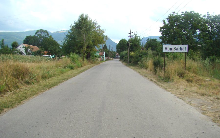
Culture and History
The Roman fort of Râu Bărbat is an archaeological site in the territory of the commune of Pui, near the village of Râu Bărbat in Hunedoara County. At the same time, it documents the Roman presence and the military organisation of the Roman Empire in the province of Dacia. The site therefore represents not only individual structural remains, but also a clearly defined historical context.
In the wider regional surroundings of Râu Bărbat lies Dacia, an ancient site. The Crucea Eroilor de pe Muntele Straja monument is also located in the wider regional surroundings. The two destinations extend the historical perspective beyond the immediate local context, without having the same archaeological character.
For your travel planning, the cultural attractions can be considered as a separate subject area. The marching camp and the fort represent archaeology and Roman history, while the destinations located farther afield in the region provide an additional connection to the surrounding area.
Nature and Hiking Trails
The Pui–Hobiţa–Tăul Ţapului–Porţile Închise hiking trail leads from Pui through Râu Bărbat and Hobiţa along a forest road in the valley of the Râul Bărbat to the vicinity of Stâna de Râu. Râu Bărbat is therefore part of an explicitly named route connecting several place and landscape names.
Tăul Ţapului is a glacial lake with an island. Within the landscape described above, the lake forms a distinct natural point alongside the hiking trail.
The surroundings of Râu Bărbat include Piatra Barului Mountain, Brădețului Peak, Piatra Meteștilor Peak and Capu Găieriului Peak. The four independently named points provide several geographical reference points in the nearby landscape, which can be considered separately when planning your own trip.
The natural features thus range from a valley trail and a glacial lake to several peaks.
Routes and Orientation
Route 14 connects Stâna de Râu, Tăul Țapului, Porțile Închise, Vf. Păpușa, Vf. Păpușa Mică and Șaua Custurii, then leads back to Stâna de Râu. Its description therefore names a circular route with a starting point and return point, as well as several named stops.
Stâna de Râu can be reached from Hobița via the unpaved county road DJ 667 through the valley of the Râul Bărbat. For your own orientation, this provides both a connection through several places and landscape features and a route returning to Stâna de Râu.
When staying at a hotel in Râu Bărbat, you can compare travel dates, room categories and cancellation policies on the offer pages. This keeps the practical arrangements of the trip separate from the historical and landscape-related themes of the place.
Other Places
Peștișu Mare, Simeria, Gurasada, Petroșani, Geoagiu Băi, Orăştie, Cib, Lupeni
For the higher-level travel overview: Iron Market.

.JPG)