
Discover Remeţi: Churches, Nature and Muntele Bradului
Accommodation in Remeţi
A cultural highlight in Remeţi is the Ukrainian Church of the former Pauline monastery. It dates from the 15th century.
Culture
The church stands on Dubrora Hill in the northeast of the village of Remeți. It is located about 200 metres from the national road. The old church has an old iconostasis; its painter is unknown. It is dedicated to the Annunciation of the Lord.
A new Ukrainian Orthodox parish church in Remeți was built between 1984 and 1986 and is dedicated to All Saints. A group of painters from the Ukrainian region of Transcarpathia decorated it between 2001 and 2002 with paintings in tempera. According to local tradition, hermit monks built the stone church before Remeți existed as a village. For the Ukrainian community in Remeți, the church combines worship in the mother tongue with traditional customs and practices. Thus, a church dating from the 15th century and a significantly newer church building with its own dedication stand side by side in Remeți. The construction history of the new church also comprises several separate periods: its construction and subsequent decoration are distinguished by the years mentioned above.
Nature
The municipality of Remeți is part of the Tisa Superioară Natura 2000 site (ROSCI0251) and the Pricop-Huta-Certeze Natura 2000 site (ROSCI0358). In addition, the municipality is part of the Tisa Superioară bird protection area (ROSPA0143). The two Natura 2000 sites and the bird protection area refer to different aspects of protection within the same municipality. Thus, both the names of the two sites and the specific connection with bird protection help to characterise the landscape.
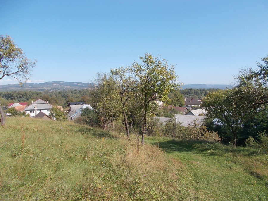
Remeţi lies in the northern Maramureș Depression on the right bank of the Tisa. The municipality is situated on the international DN 19 road, which forms its main transport route. The location therefore links two clearly defined geographical reference points: the depression with the riverbank and the road as the municipality’s main transport route. The Tisa and DN 19 describe different aspects of the location without repeating the same geographical information.
Trails and mountains
The Muntele Bradului trail is a circular hiking route. It is located in Remeți, in the northwest of the Munții Igniș. The trail can be accessed from Pasul Huta or from Remeți. Its description therefore combines the route’s circular format with a location in the northwest of the Munții Igniș and two named starting points. For planning purposes, these details can be considered separately: the circular route describes the trail format, while Pasul Huta and Remeți identify the two access points.
Muntele Bradului has an elevation of 1,079 metres. The circular route, the two named access points and the elevation provide different points of reference for planning. The elevation of 1,079 metres supplements the spatial description of the trail with a specific mountain reference. Together with its location in the northwest of the Munții Igniș, Muntele Bradului remains identifiable as a distinct geographical reference point.
When considering hotel offers in Remeţi, travel dates, room category and cancellation conditions form three separate comparison points. They classify the desired period, the selected room type and the conditions of the respective offer without mixing them with the local information about churches, protected areas and trails.
Other places
Other places: Lăpușel, Hoteni, Cavnic, Petrova, Săliștea de Sus, Staţiunea Borşa, Săcel, Seini.
To the overarching travel overview: Maramureş.

