
Sâg: Protected Area, Springs and Hiking Trails
Accommodation in Sâg
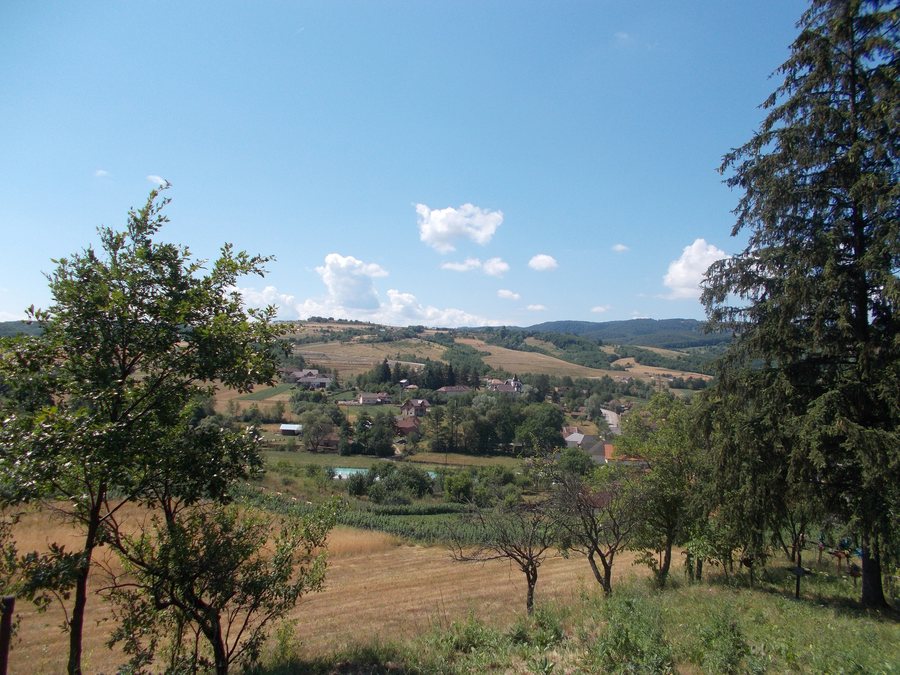
In the foothill region of the Plopiș Mountains, Sâg lies at the meeting point of the Sălaj, Cluj and Bihor counties. For exploration, clearly named natural areas and hiking trails with different distances and stated durations are the main focus.
Geographical Setting
Sâg’s road connections include the DJ 191D, which connects Ciucea, the E60, Sâg, Nușfalău and the DN 1H. The DJ 191E is also part of the road network: it connects Sâg with Crasna and, via the DJ 191C, with Zalău. For planning your journey, both connections can be considered separately according to the places and road numbers mentioned. This keeps the two road axes legible as independent connections when navigating.
Nature
The Tusa–Barcău Landscape Reserve is a protected area of national interest in IUCN Category IV and lies within the administrative area of the municipality of Sâg. It overlaps with the Tusa–Barcău Natura 2000 site and includes beech forest habitats of the Asperulo-Fagetum type. Izbucul Mare is one of the most important sources of the Barcău River, while Izbucul Mic is also an important source of the Barcău River. The Platoul Ponor with Piatra Ciutei is a particularly attractive landscape area. When planning, the protected area, forest habitats, springs and landscape area can be considered side by side as different aspects of nature.
Hiking
The Tusa–Toplița–Izbucul Mare–Culmea Ponorului hiking trail is marked with a yellow triangle, is 13 km long and has a stated duration of five hours. The Sâg–Rubin–Păstrăvăria Izvoarele Barcăului–Valea Boului trail bears a red triangle marking, covers 16 km and has a stated duration of six hours. Also marked with a red triangle is the Sârbi–Siculești–Cuptoare–Ponor–Piatra Craiului hiking trail; its length is 20 km and its stated duration is ten hours. The differences in length and duration allow for a direct comparison of the time required without equating the three routes.
Each of the three trail descriptions includes a marker, a specified distance and a stated duration. These details can be read separately alongside one another: the symbol identifies the marking, the number of kilometres indicates the scope and the time specification states the given timeframe. This keeps the trail name, marking, distance and duration as independent pieces of information.
In the village of Tusa, there are water mills that were operational at the time.
When comparing a hotel in Sâg, you can place the travel period, room category and cancellation conditions side by side on the offers page. Especially when different dates of stay or room preferences are being considered, the comparison remains clear. The travel dates, room category and cancellation conditions can also be considered separately there as additional comparison fields. These details complement the location information rather than replacing it, making it possible to distinguish them clearly from one another.
More location pages: Gârceiu, Șimleu Silvaniei, Bodia, Zalău, Meseșenii de Sus, Vălişoara, Sărmășag, Cuzăplac
To the higher-level travel overview: Salaj.

