
Tlmače: Hotels, the Hron, Landscapes and the Plešovica Circuit Trail
Accommodation in Tlmače
Tlmače combines a striking river and mountain setting with archaeological traces, sacred buildings and a signposted circuit trail. The Plešovica Educational Trail begins directly at the market square and leads through the landscape with information panels and a viewpoint. At the same time, the visible and documented evidence ranges from the Neolithic period to churches, a Slavic hillfort and a folklore festival of the wider Tekov region.
Landscape
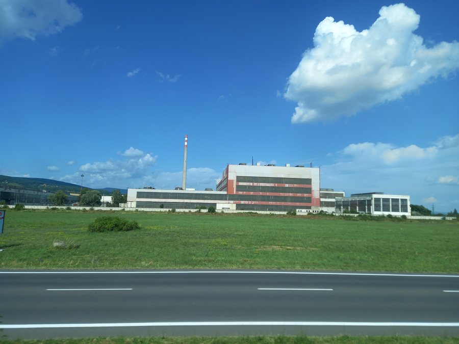
Tlmače lies mostly in the floodplain on the left bank of the Hron and at the southwestern foot of the Štiavnické vrchy. The newer district of Lipník developed on the right bank of the Hron on elevated ground that slopes down towards the river. The place where the Hron emerges from the mountain range is known as Porta Slovenica or Slovenská brána. This geomorphological formation was created by the erosion of the Hron: the river cut through volcanic agglomerates, thereby separating the Kozmálovské vŕšky from the Štiavnické vrchy proper.
Culture and History
Archaeological finds show that Tlmače was already settled in the Neolithic period, around 2000 BC. Evidence from this period includes a settlement with fluted pottery, a Hallstatt-period burial ground of the Podolí culture and a settlement from the La Tène period. Another historical landmark is Festunok, also known as Hrádze. It is a Slavic hillfort from the 9th century on a steep rock above the bridge in Tlmače.
Sacred Sites and City Life
The buildings in Tlmače include the Roman Catholic Church of Our Lady of the Seven Sorrows. It was built and opened for use in 1928 in the municipal cemetery. The Lipník settlement is home to a Roman Catholic church dedicated to the Sacred Heart of Jesus. It was consecrated on Sunday, 11 November 2012. The church also contains a stone altar with relics of Saint Thomas Aquinas.
The Tlmače City Library is located on the first floor of the community centre in the Lipník settlement. It is managed and operated by MsKS Tlmače and has an archive of more than 15,000 book titles available to its members.
Nature
The Plešovica Educational Trail is an easy circuit trail just under 9 km long. Its starting point is directly at the market square in Tlmače, where the first information panel is located. There are six information panels along the route in total; a branch also leads to a viewpoint. The trail is suitable for walks with children.
The viewpoint can be reached after a steep half-kilometre climb and offers panoramic views of the surrounding area. The mountains of Varta, Priesil, Benad and Ostrý Vrch are located around Tlmače. Svätý Urban, a church, is also nearby.
Culture in the Wider Region
The wider regional surroundings of Tlmače include Hrušov, a ruin, Zřícenina Gýmeš, also a ruin, and Starý Kláštor, a monastery. The cultural calendar also includes the 15th edition of Tlmačská grámora. The two-day folklore festival of the wider Tekov region featured singing, dancing, folk music and crafts. Contributions came from the Tekov region and other parts of Slovakia.
Other Places
For a wider regional selection, you can also visit these places: Hronské Kľačany, Malé Ludince, Veľké Turovce, Tekovský Hrádok, Želiezovce, Tekovské Lužany, Slatina, Santovka.
For the higher-level travel overview: Levice.

