
Hotels in Planina: Karst Field, Cave and Historic Traces
Accommodation in Planina
Planina can be explored through two very different landscapes: Planinsko polje is considered a classic karst field and gave all karst fields around the world their name. At the same time, it shows the contrast between meadows and a lake that appears periodically. Planinsko polje is also a Slovenian Important Bird Area, whose international ornithological significance is particularly associated with the globally endangered corncrake (Crex crex).
Nature
The marked Scilkina učna pot educational trail was created on Planinsko polje. It is 11.5 kilometres long and supplemented by 19 information boards. These explain special features of Planinsko polje, its flora and fauna, and the floods. Along the same route, the landscape of the karst field, its habitats and the periodically occurring water are therefore presented in context.
Trails
The Planina Historic Trail leads through six stations along the preserved traces of the Rapallo Border. The trail map shows preserved border markers and documentary layers of the Rapallo Border. Guided tours of the Planina Historic Trail are also offered for groups, schools and individuals.
History
The Ravbarjev stolp, an impressive cylindrical tower and keep, is what remains of the former Mali grad. The Ravbarjev stolp, also known as Mali grad, stands in Kačja vas near Planina on a rise close to the entrance to Planinska jama. The historic status of the former Mali grad and the tower’s present-day name thus refer to the same visible complex.
Cave and Mountain
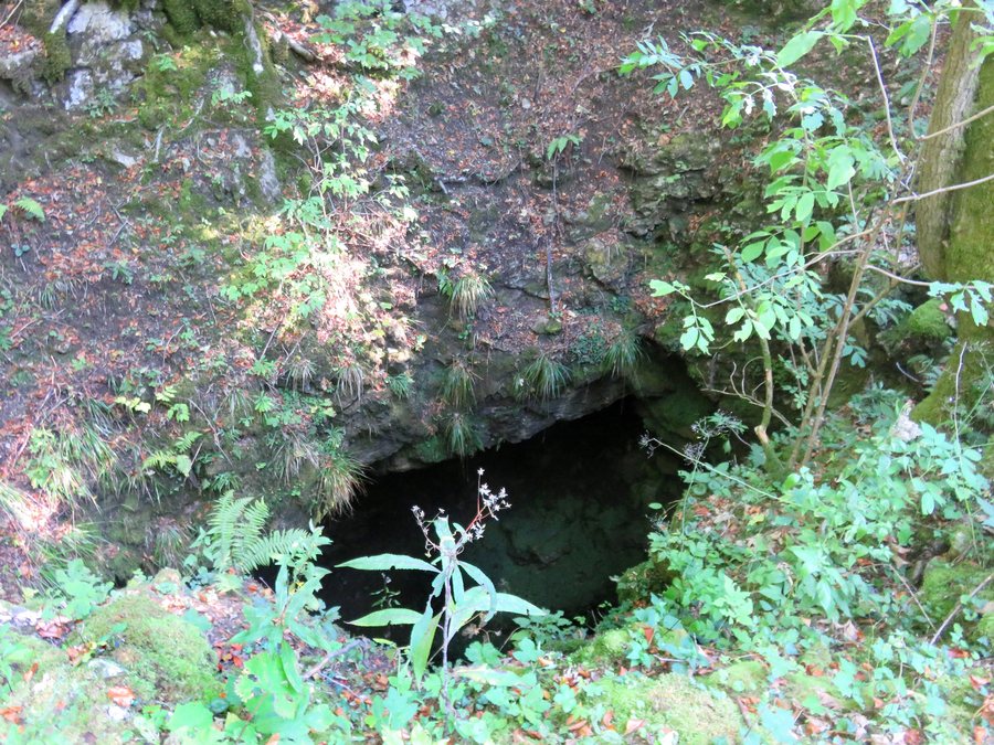
Planinska jama lies on the edge of Planinsko polje. The standard visit takes approximately one hour and follows a safe 500-metre route to the underground confluence of the rivers. In Planinska jama, the Rak River from Rakov Škocjan and the Pivka River from Postojnska jama join at an underground confluence and together form the Unica River.
Planinska jama also offers a longer boat tour lasting seven to eight hours. It is possible when water levels are low and with prior reservation. Thus, the cave offers both an approximately one-hour standard visit and a significantly longer boat tour, each with the conditions stated.
A hiking route to Planinska gora begins in Planina near the Church of Saint Margaret. Gravel roads lead from Planina and Liplje to the summit of Planinska gora and are suitable for mountain bikers.
The location specified at the starting point and the two named access routes distinguish the beginning of the hiking route from the gravel roads leading to the summit. For understanding the course of the route, Planina, Liplje and the summit of Planinska gora therefore remain as separately named points. The description thus names both the start near the Church of Saint Margaret and the connection between the two places and the summit.

