
Maloe More on Lake Baikal: Strait, Bays and Olkhon
Maloe More, or the Small Sea, is a strait in Lake Baikal. It separates Olkhon Island from the western mainland shore and is therefore often mentioned in connection with trips to Olkhon. Geographically, it is not a single beach destination, but a long landscape region with bays, shores, steppe and changing access conditions. The key measurements and connections are presented in the geographical overview of Maloe More; the Lake Baikal travel guide provides additional regional travel-planning information.
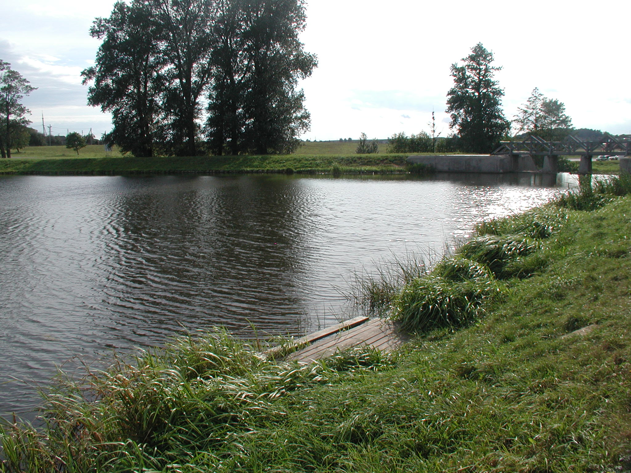 Uferzone mit Schilf, einem Holzsteg und ruhigem Wasser.
Photo: Markus Lenk
Uferzone mit Schilf, einem Holzsteg und ruhigem Wasser.
Photo: Markus Lenk
Quick facts: Maloe More
- Maloe More is a strait in Lake Baikal between Olkhon Island and the western mainland shore.
- The landscape region is about 70 kilometers long and five to 16 kilometers wide.
- Bays, steppe, cliffs and the Primorsky Range shape its varied stretches of shoreline.
- The Olkhon Strait connects the southern part of the strait with open Baikal.
- Road, ferry, ice, weather and supply conditions can affect accessibility.
- Check current travel, safety, transport and access conditions before each leg of the trip.
Understanding Maloe More’s geography
Its location between the mainland and the island explains the region’s distinctive character. Water, bays and open steppe alternate with cliffs and mountain slopes. To the north, the strait opens onto Lake Baikal; to the south, the narrow Olkhon Strait leads farther into the lake. Looking only at the distance between two places on a map can easily be misleading, since roads, weather, ferry services and ice conditions can all affect the day’s schedule.
Olkhon is the largest island in Lake Baikal and a destination in its own right. The background on Olkhon helps put it in geographical context. Still, Maloe More and Olkhon should not be used as interchangeable terms: the strait refers to a body of water, the island to a landmass, and the shore region to a particular starting point. When planning a route around Lake Baikal, decide whether you are planning a stretch along the shore, a stay on the island or both.
Shoreline, landscape and views
The Primorsky Range shapes the mainland side. Tryokhgolovy Golets is cited as the highest peak in this mountain range. For visitors, however, what matters less is a single record than the changing scenery of expansive water, dry steppe, bays and rocky shores. Trails and viewpoints are not universally easy to reach. Weather, navigation, road conditions and the return journey all need to be considered for each leg.
If you want to compare several Baikal destinations, you can treat Baikalsk, Irkutsk and Listvyanka as separate parts of your trip. Siberia is the broader geographical setting, not a short day trip. A good itinerary leaves room for weather and transport delays instead of promising a visit to every bay or viewpoint.
Summer, winter and planning each leg
In summer, the focus is on the shoreline, bays, scenery and possible boat trips. In winter, ice, cold, short days and trail conditions fundamentally change what is possible. No season is automatically best without checking conditions. Check the latest road conditions, ferry or ice crossings, accommodation, local rules and weather shortly before each leg of the trip. Even what seems like a short return journey can become difficult if conditions change.
Costs depend on accommodation, transport, excursions and travel dates, so no fixed prices are quoted. If you plan to combine Maloe More with Olkhon, plan not only your arrival but also your return journey, luggage and an alternative in case a connection is canceled. The Baikal-Lena information shows that other nature destinations come with their own access and timing considerations.
For day planning, this means judging each leg not only by distance, but also by terrain, weather and the return journey. Accommodation near a bay may suit those looking for peace and quiet, while another location may offer better options for continuing the trip. Check these differences against your specific route before booking.
Distinguish between the strait, mainland shore and island
Maloe More refers to a body of water, not just one beach or holiday resort. The geographical overview of Maloe More provides more information about its location and dimensions. For broader regional context, see Lake Baikal, Siberia and Russia.
The strait lies between the western shore and Olkhon. When planning, identify the particular shoreline, bay, island route and starting point separately. Sagan Saba, Listvyanka and Irkutsk are other places associated with Baikal, but they are not automatically nearby destinations.
On the mainland, steppe, cliffs and mountain slopes can make a journey much longer than the straight-line distance suggests. Check current road quality, weather, ferry services, ice conditions, supplies and daylight before each drive. Break a potential stay into realistic legs, taking arrival and transport and travel preparation into account.
For nature trails, consult the travel checklist and itinerary and staying safe on the road. The latest travel and safety advice for the Russian Federation takes precedence over older summer or winter descriptions. Visit sensitive shoreline areas only in accordance with local rules and via confirmed routes.
FAQ about Maloe More
What is Maloe More?
Maloe More is a strait in Lake Baikal between the western mainland shore and Olkhon Island.
Is Maloe More a single place?
No. The name refers to an extensive body of water and landscape region with different bays, shorelines and starting points.
How is Maloe More different from Olkhon?
Maloe More is the body of water; Olkhon is the island. A route should therefore clearly distinguish between a stay on the shore, a crossing and travel on the island.
Which season is suitable?
That depends on the weather, roads, ferry or ice conditions, daylight and the current safety situation. Check conditions for the specific travel dates.
