
Cvrčovice: Hotels and accommodation
Accommodation in Cvrčovice
Nature and trails
Vodní park Čabárna includes an educational trail, waterfowl, koi carp, aquatic plants and ponds. The Vodní park Čabárna educational trail is approximately 1 kilometre long, has no change in elevation and runs mainly along gravel or grass paths. Fishing is possible in the large pond at Vodní park Čabárna with a permit available on site. Public transport bus route 50 stops directly at the entrance to Vodní park Čabárna.
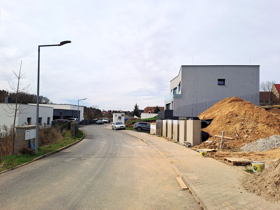 File:Cvrčovice (Podolanka), nová zástavba 2025-03-30 02.jpg
Photo: Hubert Kororo via Wikimedia Commons, CC BY-SA 4.0
File:Cvrčovice (Podolanka), nová zástavba 2025-03-30 02.jpg
Photo: Hubert Kororo via Wikimedia Commons, CC BY-SA 4.0
History
The “Po lesních cestách do historie dolování uhlí na Kladensku” educational trail leads from the former Ludmila mine along the embankment of a former connecting railway on the edge of Cvrčovice to the Ferdinandka settlement and ends in Cvrčovice near Čabárna at Vodní park Čabárna. It presents the history of coal mining in the Kladno hard-coal basin, particularly in the Vrapice area. The Cvrčovice water tower was built in 1932 using funds from the municipal administration.
Landscape
Cvrčovice is situated at an elevated position on the upper edge of the Týnecký potok valley. The hill “(Na Horkách) [Malé Přítočno]” is located in the vicinity of Cvrčovice. The wider surrounding region also includes Doutnáč as a mountain, Střelecký ostrov as an island and Slovanský ostrov as an island.
Culture in the wider surrounding area
The wider surrounding region of Cvrčovice includes Zámek Ostrov as a castle, Stará kanalizační čistírna Praha-Bubeneč as a museum, Letohrádek královny Anny as a castle and Galerie Rudolfinum as a museum.
Other locality pages
Unhost, Žilina U Nového Strašecí, Knovíz, Pletený Újezd, Hořešovičky, Slatina, Řisuty, Chržín
For the higher-level travel overview: Kladno District.

,_nov%C3%A1_z%C3%A1stavba_2025-03-30_02.jpg)