
Vrchy: Hotels and accommodations
Accommodation in Vrchy
Vrchy is located on an extensive plateau of the Nízký Jeseník in the Oderské vrchy.
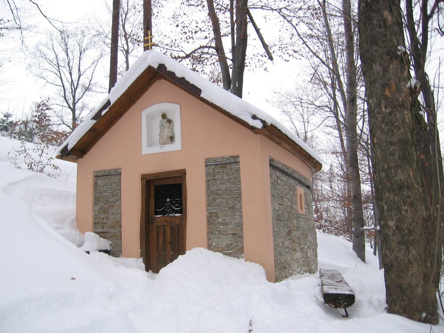 File:Kaple Panny Marie Loretánské (Vrchy, okres Nový Jičín, CZ) -001-.jpg
Photo: Miloslav HOLÍK via Source, Public domain
File:Kaple Panny Marie Loretánské (Vrchy, okres Nový Jičín, CZ) -001-.jpg
Photo: Miloslav HOLÍK via Source, Public domain
Landscape
The highest point in the municipality is Mount Vrchy, located northwest of the village, at an elevation of 546 m above sea level.
Hiking
A forest path leads from the parking area on the southeastern edge of Vrchy to the summit of Nadějov. The blue-marked hiking trail from Fulnek to Lukavec runs along the eastern slope of Nadějov. The summit of Nadějov is freely accessible to the public.
The 7 km-long hiking route “Po staré Valtéřovské cestě” begins at the Vrchy bus stop and ends at the bus or train station in Fulnek. It passes the cemetery chapel in Vrchy and the Church of St. George in Vrchy. Stará Valtéřovická cesta is a historic paved road.
Culture
The cemetery chapel in Vrchy is incorporated into the cemetery wall. The Church of St. George in Vrchy was built in 1794 in the Classicist style. The Chapel of St. George is a Neo-Gothic chapel built in 1901 in the cemetery in Vrchy.
Other local pages
Slatina U Bílovce, Jistebník, Mořkov, Bartošovice, Velké Albrechtice, Bítov, Sedlnice, Hodslavice
To the overarching travel overview: Nový Jičín District.

_-001-.jpg)