
Černotín: Hotels and Accommodation
Accommodation in Černotín
Černotín is particularly clearly defined by its elevation and underlying geology: the terrain descends from Hluzovský kopec at 365 m above sea level southwards to the Bečva Valley at 250 m above sea level. The geological bedrock consists predominantly of Devonian limestone.
Landscape and Stone
The local limestone was used to produce lime and cement. Lime production in Černotín has been documented since the 19th century. The quarry in Černotín also has a special geological classification: it is the type locality and a registered stratotype locality of the Černotín sandstones.
The disused quarry in Černotín is fully accessible; by car, it can be reached to within 250 m without any entry ban.
Culture and History
The statue of Our Lady of Hostýn in Černotín was erected as a votive offering in 1903. The parish church of Saints Cyril and Methodius in Černotín was built in 1868 by the builder Alois Jambor from Hranice to commemorate the millennium of the arrival of Cyril and Methodius in Moravia.
The Moravská brána event is held every June in a renewed format.
Routes and Transport
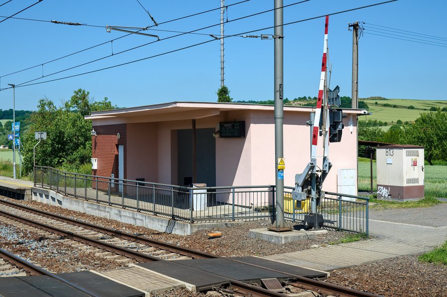
The Bečva Cycle Path runs through the cadastral territory of Černotín and forms part of the important Cycle Route No. 50. A 3 m-wide connection along the Hluzovský potok leads to the Bečva Cycle Path at Černotín. Černotín has good rail and road connections.
Other Places
Other places: Sušice, Všechovice, Vlkoš, Křtomil, Lisna, Paršovice, Teplice Nad Bečvou, Buk
For the higher-level travel overview: Přerov District.

