
Špičky: Hotels and accommodation
Accommodation in Špičky
In Špičky, the Soví stezka educational trail leads through the village via 11 stations and ends at a photo point. It begins at the kindergarten, where a map can be collected, is aimed at children and families, provides information about owls, and is freely accessible year-round.
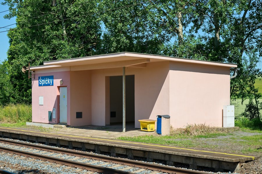
Landscape
The cadastral area of Špičky lies in the Příborská pahorkatina, a dissected hilly landscape with a distinctly erosion-denudation-shaped relief. The Vysoká stráž hill lies north of Špičky; at 370 m above sea level, it is considered the highest point in the surrounding landscape. At the southern edge of the cadastral area of Špičky lies the Bečva floodplain at about 250 m above sea level.
The Na Strážnici hill (Milotice nad Bečvou) lies in the immediate vicinity of Špičky; the Jindřichovský vrch mountain is located nearby. In the wider regional surroundings of Špičky lie the Oprchlice and Kelčský Javorník mountains.
Culture
The Church of Saint Simon and Saint Jude, “Kostel svatých Šimona a Judy”, has been documented in Špičky since as early as the 13th century. It acquired its present appearance through the Neo-Gothic reconstruction of 1900–1901.
Surroundings
The wider regional surroundings of Špičky also include the Zřícenina Lukov ruins, the Svatá Marie Church, and the Holešov castle park.
Getting around
Špičky is served by regular bus connections. The Krakow–Morava–Vienna long-distance cycle route runs along the northern edge of Špičky.
Other places
Všechovice, Výkleky, Nahošovice, Týn Nad Bečvou, Podolí, Teplice Nad Bečvou, Sušice, Střítež Nad Ludinou
To the higher-level travel overview: Okres Přerov.

