
Mýtka: Hotels and Accommodation
Accommodation in Mýtka
Mýtka offers expansive views of the surrounding landscape. A red-marked hiking trail also passes through the village towards Vápenný Podol.
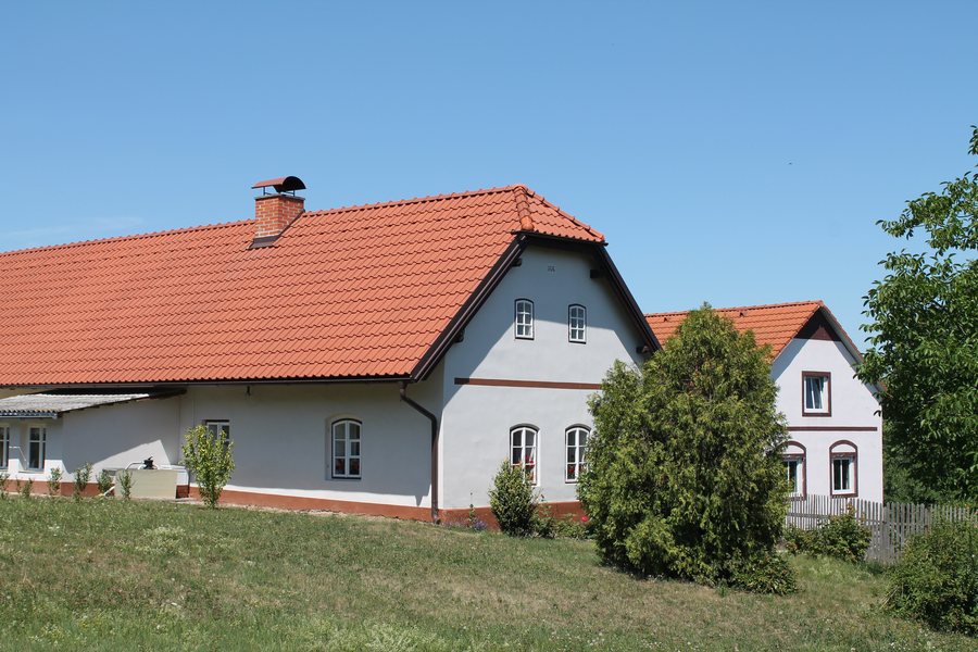 File:Mladoňovice, Mýtka, dům čp. 6 (2018-07-04; 01).jpg
Photo: Harold via Wikimedia Commons, CC BY-SA 3.0
File:Mladoňovice, Mýtka, dům čp. 6 (2018-07-04; 01).jpg
Photo: Harold via Wikimedia Commons, CC BY-SA 3.0
History and Landscape
Mýtka was established in the High Middle Ages, when settlements were founded on clearings in communal forests. The area of present-day Mýtka was once covered by a pine forest. The village was formerly called Mejtech (Megtek), a name derived from the original designation of the settlement, “mejtská”.
Historical Traces
The manorial barn in Mýtka stood in the fields near Chrbolkových and was used to collect grain from the landowners’ fields. In the 19th century, two settlers bought the manorial barn, sawed it in half from the top, and rolled each of the two parts to their own house.
The hideout in Mýtka provided shelter to Czechoslovak paratrooper and Lieutenant Vasil Kiš, head of the parachute operation Jan Kozina, as well as to the Russian refugee Anafasij Koropka. During the war, a room hidden beneath the floor of a barn and covered with a hatch served as a hideout in Mýtka. Due to its location, the residents of Mýtka were able to observe German military columns after 15 March 1939 as they completed the occupation of Bohemia and Moravia.
From 18 August to 2 September 2026, the surface of a local road in Mýtka will be repaired.
More pages about localities: Jenišovice U Chrudimi, Hlinsko V Cechách, Hrochův Týnec, Křižanovice, Čankovice, České Lhotice, Úhřetice, Miřetice U Nasavrk.
To the higher-level travel overview: Chrudim District.

.jpg)