
Úhřetická Lhota: Hotels and Accommodation
Accommodation in Úhřetická Lhota
Úhřetická Lhota lies on a gentle slope on the right bank of the Novohradka. Below the village, the Novohradka flows into the Chrudimka. Along the Zmínka Canal lies an alluvial forest with rare plants; a natural meander of the Chrudimka is also part of the Úhřetická Lhota landscape area.
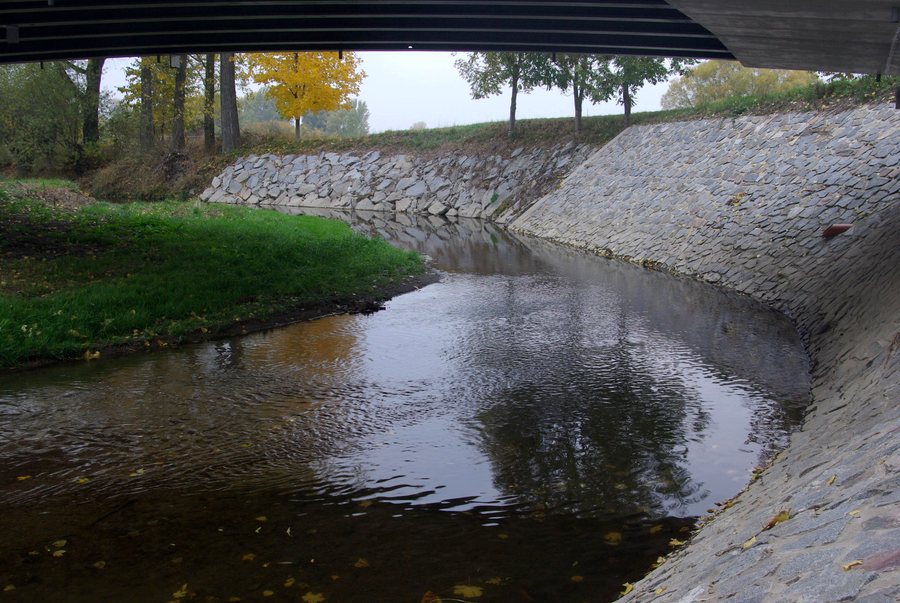 File:Úhřetická Lhota, Novohradka zpod mostu silnice 340.jpg
Photo: Martin Urbanec via Wikimedia Commons, CC BY-SA 4.0
File:Úhřetická Lhota, Novohradka zpod mostu silnice 340.jpg
Photo: Martin Urbanec via Wikimedia Commons, CC BY-SA 4.0
History
The first written mention of Úhřetická Lhota dates from 1340. Typologically, the village belongs to the medieval linear strip villages. No wooden buildings have survived in this lowland location; during the second half of the 19th century, they were gradually replaced by brick buildings.
In 1560, Úhřetická Lhota became the property of the Bohemian Chamber. The Pernštejn family acquired the village and incorporated it into the Pardubice estate. The Thirty Years’ War destroyed several buildings in Úhřetická Lhota.
Transport Connections
Úhřetická Lhota has regular bus services. The road bridge on Road 340 near Úhřetická Lhota is a take-out point on the Novohradka.
Other Locality Pages
Křičeň, Choteč, Litošice, Lázně Bohdaneč, Vlčí Habřina, Voleč, Opatovice Nad Labem, Sopřeč
For the higher-level travel overview: Pardubice District.

