
Hvožďany: Hotels and Accommodation
Accommodation in Hvožďany
Hvožďany is a settlement situated on a hilltop, 2.5 km west of Poběžovice. On the southeastern slope of Nademlýnský vrch, on the boundary of the cadastral areas of Načetín and Hvožďany, lies Hvožďanská louka, a protected natural monument covering just under 7 hectares.
Nature
Hvožďanská louka protects diverse natural meadow vegetation with specially protected plant species. The protected area south of Načetín comprises pastures with species-rich, moisture-loving flowering flora.
The Český val u Poběžovic geological locality is situated in the cadastral area of Hvožďany u Poběžovic, which belongs to Hvožďany. It is one of the few well-preserved and large quartz-vein outcrops forming the Český křemenný val.
Villagescape and History
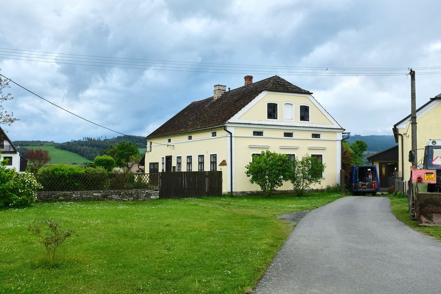
A turn-off from the road from Poběžovice to Mnichov leads across Hvožďany’s spacious village green. The village retains the layout of a circular village green with a pond.
Hvožďany was first mentioned in 1528 as part of the abandoned Starý Herštejn Castle and later came under the Poběžovice estate. Historically, Hvožďany was home to mills and a paper mill on the Pivoňka stream. Several mills were in operation south of Hvožďany near Mlýnský potok in the past.
Routes
A hiking trail and several cycle routes pass through Hvožďany. Cycle Route 2281 runs through Hvožďany. The first section of the long-distance Zlatá stezka 14 trail from Poběžovice to Bělá nad Radbuzou passes through Hvožďany and Mnichov to Pivoň.
The Český val u Poběžovic rock outcrop is located about 1.5 km west of Poběžovice on the road to Mnichov, 250 m beyond the turn-off to Hvožďany. It is fully accessible by car; the access road reaches to within 250 m of the locality.
Other Places
Pařezov, Rybník, Pasečnice, Nevolice, Horsovsky Tyn, Domažlice, Únějovice, Tlumačov
To the higher-level travel overview: Domažlice District.

.jpg)