
Branišovice – History and Landscape at Hradiště
Accommodation in Branisovice
Branišovice is part of the protected Římovsko cultural landscape. The tripartite Branišovice hillfort covers 2.8 hectares. For you, these two facts provide different ways of approaching the site: the cultural landscape places Branišovice in its cultural and historical context, while the 2.8 hectares of the hillfort quantify its extent. Both aspects can be considered separately when planning, without confusing the history of the site, the shape of the landscape, and the surviving traces with one another.
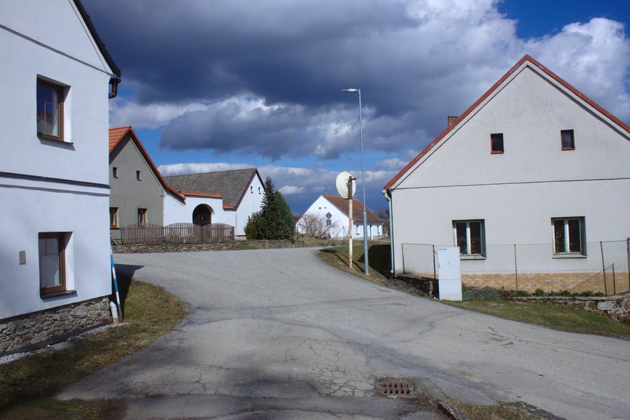 File:Branišovice, domy.jpg
Photo: I would appreciate being notified if you use my work outside Wikimedia. More of my work can be found in my personal gallery . via Source, CC BY-SA 4.0
File:Branišovice, domy.jpg
Photo: I would appreciate being notified if you use my work outside Wikimedia. More of my work can be found in my personal gallery . via Source, CC BY-SA 4.0
History
The village of Branišovice was first mentioned in writing in 1398. The village of Branišovice was probably founded in the 13th century. In the 8th century, or by the 9th century at the latest, the early medieval Slavic hillfort of Branišovice was an important defensive and watch point.
A chapel in Branišovice is one of the area's interesting historic buildings, but it is not listed as a protected monument. The chronology of the village and the history of the hillfort thus stand alongside each other: one concerns the origins and written records of the site, while the other concerns the early function of the Slavic site.
Landscape
The Branišovice hillfort lies on the right bank of the Malše, on a promontory 50 to 55 metres high, directly opposite the well-known pilgrimage site of Římov. The area of the Branišovice hillfort is bounded by steep slopes leading down to the Malše and to the narrow canyon of the Branišovický potok.
The hillfort is approximately 350 to 370 metres long and 30 to 70 metres wide. The measurements for its area, length, and width describe different properties of the same terrain and can therefore be read separately. Rather than producing a single abstract figure, these details provide a more precise picture of its extent and shape.
A surviving section of the middle rampart reaches a height of up to 2.5 metres. Part of the ditch in front of the eastern rampart is still visible as a slight depression in the terrain. The rampart and ditch represent different historical traces: one survives as a raised section, while the other appears as a hollow.
Getting There
A signpost on the Křížová cesta educational trail in Římov points to a turnoff for the Branišovice hillfort. The named educational trail and the sign indicating the turnoff provide you with two concrete orientation points if you want to follow the connection between Římov and the historic site.
In addition to the hillfort and the Římovsko cultural landscape, when booking accommodation in Branišovice you can check your travel dates, room category, and cancellation conditions separately. These three details provide an objective basis for comparing costs and flexibility. This keeps historical information about the site and accommodation details clearly separate in your travel planning.
More destinations
More destinations: Holasovice, Dinin, Mazelov, Ledenice, Vlachnovice, Roudné, Libín, Duben
To the overview of the wider travel region: České Budějovice District.

