
Lhota Rapotina: Hotels and Accommodation
Accommodation in Lhota Rapotina
Lhota Rapotina is located in valleys formed by the erosion of the Svitava and Bělá rivers and bordered by steep, wooded slopes. The village is connected by bus as part of the IDS network.
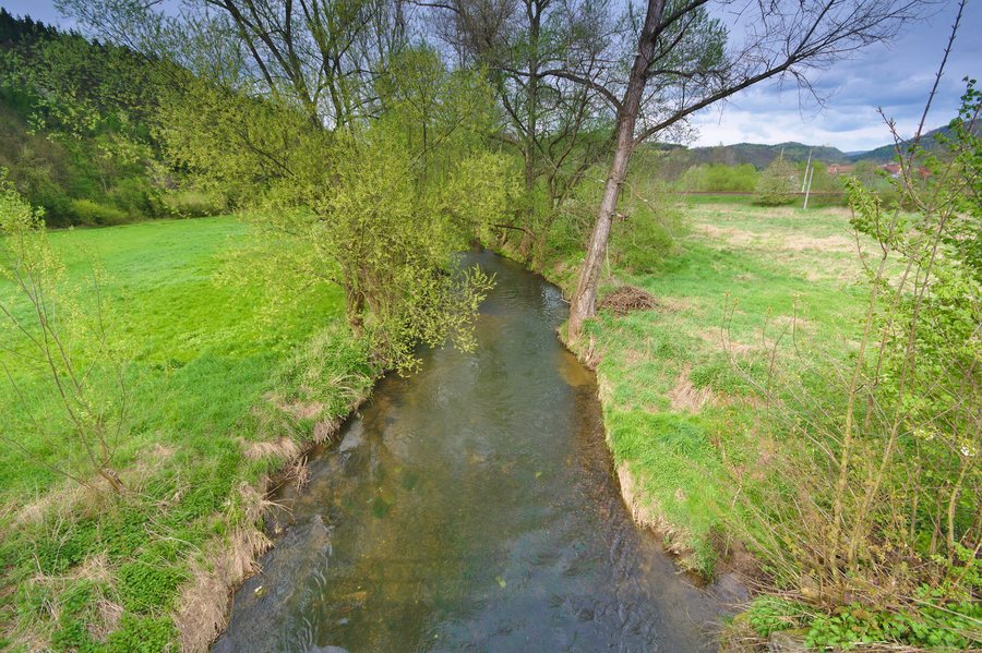 File:Svitava u železničního přejezdu, Lhota Rapotina, okres Blansko.jpg
Photo: Jiří Komárek via Wikimedia Commons, CC BY-SA 4.0
File:Svitava u železničního přejezdu, Lhota Rapotina, okres Blansko.jpg
Photo: Jiří Komárek via Wikimedia Commons, CC BY-SA 4.0
Those wishing to book a hotel in Lhota Rapotina plan their trip around this destination.
Landscape
At 539 m, Strážka is the highest point in the cadastral area of Lhota Rapotina. The natural area also includes the Lebeďák nature monument, which covers 9.281 ha within the cadastral area of the municipality of Lhota Rapotina. The protected habitats there include a distinctive community of thermophilous dwarf oak forests and rocky steppes with xerothermophytic vegetation.
History and Culture
Settlement reached the area of Lhota Rapotina in the 12th century. The earliest written mention of the village is believed to date from 1349.
The Baroque Church of St. Lawrence was built in 1717 on the site of an older chapel. It has a large onion-shaped roof that transitions into a lantern topped with a finial. In the central area of Lhota Rapotina village square stands the Baroque statue of St. John of Nepomuk, an art-historically valuable monument.
The historic Horní mlýn complex was a paper mill and is documented as early as 1663 by a watermark.
Cycling
Route 5202a leads from Lhota Rapotina to Obora.
Other places: Vanovice, Křtěnov, Závist, Šebrov-Kateřina, Svata Katerina, Svitávka, Vilémovice U Macochy.
To the higher-level travel overview: Blansko District.

