
Pavlínov: Hotels and Accommodation
Accommodation in Pavlínov
The interregional long-distance cycling route Jeseník–Znojmo, section 103 Kadov–Třebíč, runs through the planning area of Pavlínov.
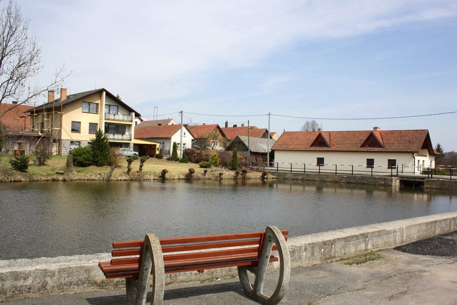 File:Pavlínov, common pond. 2.jpg
Photo: Pavel Hrdlička (Czech Wikipedia user Packa ) via Wikimedia Commons, CC BY-SA 3.0
File:Pavlínov, common pond. 2.jpg
Photo: Pavel Hrdlička (Czech Wikipedia user Packa ) via Wikimedia Commons, CC BY-SA 3.0
Trails and Recreation
A marked blue hiking trail reaches the southern edge of the cadastral area of Pavlínov. A recreation area with a holiday settlement is located in the planning area of Pavlínov by Mládkov Pond.
Nature
The Pohořílský Brook flows through Pavlínov; several ponds are located near the built-up area. The ponds in Pavlínov are used mainly for recreation and fish farming.
Culture
The chapel on the village square is a significant architectural landmark in Pavlínov. The upper chapel stands at the crossroads towards Kamenice. Only ruins and cellars of Pavlínov Fortress remain at a depth of 1.5 m.
Geographical Setting
Mount Hradiště is located in the immediate vicinity of Pavlínov, as is Panský kopec. Čechtínský kopec and Řehořovský vrch are located in the vicinity of Pavlínov.
The wider regional surroundings of Pavlínov include the Church of Svatý Marek, Smetanovy sady Park, the Church of Svatá Markéta, and Myslibořice Castle Park.
Other places: Újezd, Březské, Rudolec, Sirákov, Dolní Rožínka, Radenice, Ořechov, Sejřek
To the higher-level travel overview: Okres Žďár Nad Sázavou.

