
Kozlov: Hotels and Accommodation
Accommodation in Kozlov
Kozlov lies in the upper reaches of the Kozlovský potok at an elevation of 505 m. The European watershed, which separates drainage to the North Sea and the Black Sea, runs through the cadastral area. The Kozlovský potok rises in the Bohemian-Moravian Highlands to the northwest above Kozlov at an elevation of approximately 522 m.
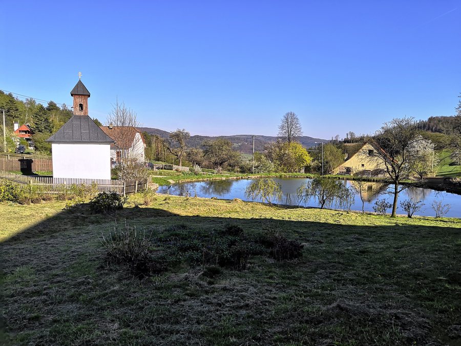 File:Kozlov (Bystřice nad Pernštejnem), náves (2).jpg
Photo: Palickap via Wikimedia Commons, CC BY-SA 4.0
File:Kozlov (Bystřice nad Pernštejnem), náves (2).jpg
Photo: Palickap via Wikimedia Commons, CC BY-SA 4.0
Culture and Townscape
The townscape is dominated by the Church of St. John and St. Paul. It stands in the centre of the village of Kozlov and is its defining landmark. At the same time, it stands unobstructed on the northern edge of the village at a road junction, is an important landmark of the municipality, and shapes the long-distance view axes of the hilly landscape.
The shell of the church was built in 1936 in just seven weeks on the site of an original chapel dating from 1867. It was consecrated on 2 May 1937. Kozlov is also home to a significant monument to thirty men who fell in the First World War; it was unveiled in 1930.
Nature and Surroundings
The mountains Kopeček, Řehořovský vrch, Panský kopec and Blažkov are located in the vicinity of Kozlov. Smetanovy sady Park is also located nearby. In the wider regional surroundings of Kozlov are three named geographical features: Roštejn [Doupě], a castle, and Orlík and Janštejn, ruins.
Routes
Cycle route 5215 passes through Kozlov. The route “Přírodou za památkami města Polná” also runs from Jihlava via Velký Beranov and through Kozlov onwards to Rytířsko and Ždírec.
Other Places
Vanůvek, Věžnička, Plandry, Polná, Svojkovice, Ústí U Humpolce, Dyjice, Hrutov
To the higher-level travel overview: Jihlava District.

,_n%C3%A1ves_(2).jpg)