
Salačova Lhota: Hotels and Accommodation
Accommodation in Salačova Lhota
Salačova Lhota is particularly clearly defined by its location connections: Cycle Route 321 runs through the village between Velká Černá and Mezilesí, while Road II/128 leads directly through Salačova Lhota.
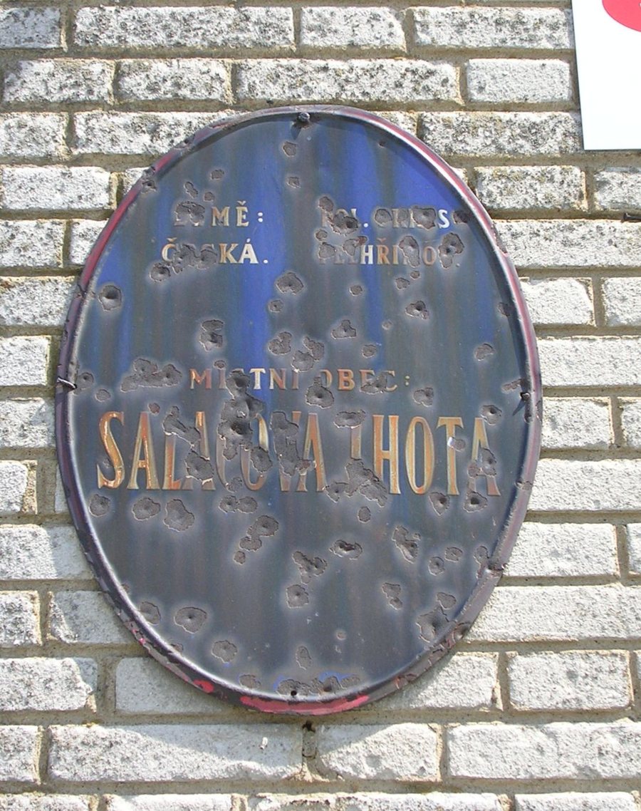
Geographical Setting
The Trnava River borders Salačova Lhota to the south. Mount Vrchy is located near the village. The nearby area also includes Hřeben SE Hill [Lukavec-Týmova Ves] and Hřeben NW Hill [Lukavec-Týmova Ves]. In the wider regional surroundings is Mount Velký Blaník.
Culture
The Hacpurek archaeological site (Velká Čermná) is located in Velká Černá near Salačova Lhota. The Church of Svatý Jan is situated nearby. In the wider regional surroundings are Želivský Kláštor Monastery, the Loreta Church, and Orlík Ruins.
Nature and Landscape
The Stražiště educational trail, a moderately challenging nature-oriented trail, is located in the region around Salačova Lhota; completing it takes 4 to 8 hours. The trail has three stations and is signposted in the area around Salačova Lhota.
More local pages: Cetoraz, Sudkuv Dul, Eš, Betlem, Kejzlice, Čejov, Proseč U Humpolce, Hodejovice.
To the higher-level travel overview: Okres Pelhřimov.

