
Zhořec: Hotels and Accommodations
Accommodation in Zhořec
Zhořec is located along the 37-kilometre-long cycling route 321 “Přes Hrad Kámen na Stražiště”, which runs through the village.
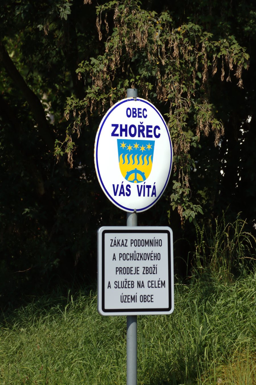 File:Zhořec, zákaz prodeje.jpg
Photo: I would appreciate being notified if you use my work outside Wikimedia. More of my work can be found in my personal gallery . via Source, CC BY-SA 4.0
File:Zhořec, zákaz prodeje.jpg
Photo: I would appreciate being notified if you use my work outside Wikimedia. More of my work can be found in my personal gallery . via Source, CC BY-SA 4.0
Cycling Route and Paths
The cycling route 321 running through Zhořec is classified as a route along Class III roads. The cycling excursion “Pacovskem s Antonínem Sovou a Bernardem Bolzanem” also uses cycling route number 321, which leads to Zhořec, and runs along Class III roads, asphalt surfaces, cycle paths, and forest and field paths.
Landscape and Village Character
Zhořec is built directly on the slope of a hill. A road running through Zhořec from east to west divides the village into two parts.
The mountain Cetoraz is located in the immediate vicinity of Zhořec. The mountain Vrchy is located near Zhořec. In the wider regional surroundings of Zhořec are the mountain (K Doubravě) [Radenín-Bítov] and the mountain Tlučin.
Culture and History
Zhořec is first mentioned in writing in 1316. In the 14th century, Zhořec belonged to the Choustník estate. Historical sights in Zhořec include the chapel on the village square in the centre of the village. Staňkův Mlýn has been documented in church registers since 1642.
The Svatý Jan Church is located near Zhořec. The Želivský Kláštor Monastery and the Svatá Anna Church are located in the wider regional surroundings.
You can find more village pages under Senozaty, Mnich, Čáslavsko, Zachotín, Velká Chyška, Pošná, Libkova Voda and Chyšná.
For the higher-level travel overview: Okres Pelhřimov.

