
Karolín between Chřiby and Haná
Accommodation in Karolín
Karolín lies on the border between Chřiby and Haná. Its history dates back to its founding in 1822; the chapel, an archaeological find, and a viewpoint above Karolín and Sulimov provide further concrete points of reference for planning your trip.
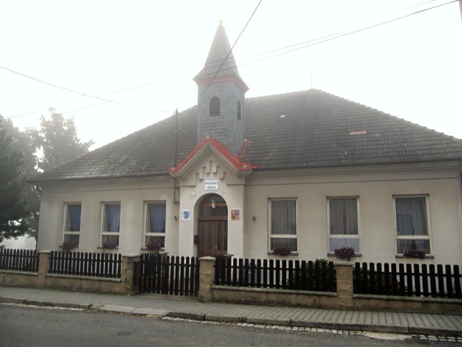
Karolín at a glance
- Karolín lies on the border between Chřiby and Haná.
- The cadastral area lies at an elevation of 300 m, covers 136 ha, and is one of the smallest municipalities by area in the Kroměříž District.
- The municipality was founded in 1822 by Countess Karolína ze Šumperka.
- The Chapel of Saint Florian and the Virgin Mary serves as a memorial to those who fell in both world wars.
- The traditional Karolín košt is dedicated to the best slivovice.
Where is Karolín geographically located?
Its location on the border between Chřiby and Haná gives you a clear regional context without assigning Karolín exclusively to either area. If you compare destinations by their geographical setting, you will find a clear distinction here. The details about the cadastral area add another kind of orientation to this regional perspective: an elevation of 300 m and an area of 136 ha describe the locality’s size, while its ranking among the smallest municipalities by area in the Kroměříž District puts that size into local perspective.
What is the story behind the name Karolín?
The municipality of Karolín was founded in 1822 by Countess Karolína ze Šumperka. In the same year, the colony in Karolín comprised 50 house numbers. This figure refers specifically to the year of its founding and gives a concrete sense of the settlement at the time. The municipal chronicle also records the historical name Karolínov (Karolinendorf) and explains that it was named after the settlement’s founder.
What does the chapel in the town center commemorate?
The Chapel of Saint Florian and the Virgin Mary stands in the center of Karolín, between the fire station and the kindergarten, below the bus stop. The chapel is a memorial to those who fell in both world wars. The commemorative plaques also differ in their arrangement: beside the entrance, plaques show the victims of the First World War with portrait medallions; those who fell in the Second World War are commemorated on a plaque above the entrance door. The respective plaques make it possible to distinguish the two parts of the memorial.
What other points of interest are there nearby?
A mandrel-shaped hand axe made of reddish-brown radiolarite, typical of the Middle Paleolithic culture, was found near Karolín. Its shape, material, and cultural attribution provide a specific archaeological context for the find.
A viewpoint above Sulimov and Karolín is located beside a windbreak planting and also serves as a signpost for local hiking trails. The same spot thus combines a landscape feature with a navigational function. The traditional Karolín košt is dedicated to the best slivovice. If you want to include the košt in your trip plans, check the date in advance and whether guests can attend.
Discover more destinations: Cetechovice, Střílky, Lutopecny, Honětice, Martinice, Osíčko, Koryčany, Slavkov Pod Hostýnem.
FAQ
How large is the cadastral area of Karolín?
It lies at an elevation of 300 m and covers 136 ha. By area, Karolín is one of the smallest municipalities in the Kroměříž District.
What is known about the hand axe found nearby?
The hand axe found is mandrel-shaped, made of reddish-brown radiolarite, and typical of the Middle Paleolithic culture.
What is the Karolín košt about?
The traditional košt is dedicated to the best slivovice. Before making plans, check the date and whether guests can attend.
Go to the higher-level travel overview: Kroměříž District.

