
Nítkovice: History and Nature in the Litenčická pahorkatina
Accommodation in Nítkovice
Nítkovice lies on the border of the Vyškov and Kroměříž regions, 24 km southwest of Kroměříž. The village is located in the heavily forested hills of the Litenčická pahorkatina. This gives it a clearly defined geographical setting as well as a local history dating back to the Middle Ages, visible in several named architectural and landscape features.
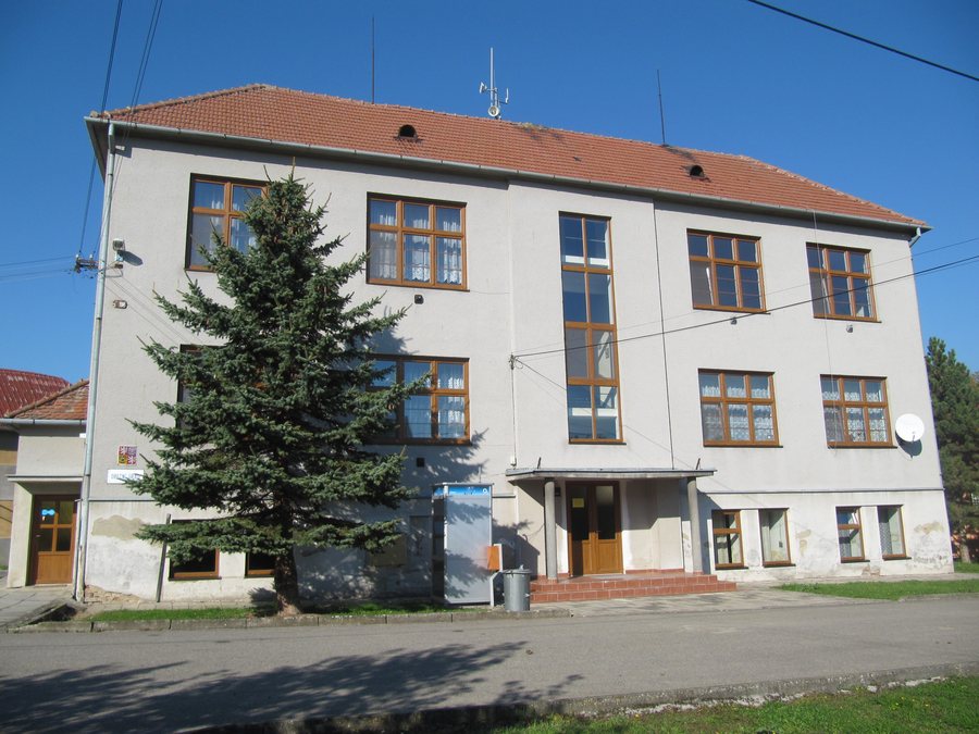
History and Culture
The settlement was initially called Nětkovice in 1349; the form Nítkovice became established from 1360 onward. A fortress once stood on the hill known as Hrádek, where it was mentioned in writing in 1536. Kozojedsko is also part of the village’s history: this locality of the municipality of Nítkovice was first mentioned around 1360. Kozojedský dvůr is a Baroque farmstead dating from 1732. Today it is used exclusively for agriculture and keeps poultry and rabbits. The dairy, carpentry workshop, accommodation and inn are no longer in operation. Local culture also includes the Chapel of the Immaculate Conception of the Virgin Mary.
Nature
The deep forests around Nítkovice invite visitors to enjoy relaxing walks. A notable natural landmark is Oskeruše u Kozojedska. On 4 September 2009, the remarkable tree was 18 metres tall, approximately 100 years old and had a trunk circumference of 303 centimetres. The protected remarkable tree is located in the cadastral area of Nítkovice; its protection zone exists by operation of law. Thus, alongside the forested hills, the local natural environment is also defined by specific measurements, a condition recorded at a particular point in time and the tree’s statutory protection.
Community Life
Various events organized by the local community have taken place in Nítkovice every year for as long as anyone can remember. These include the Gulášfest, which was held in Nítkovice in 2021 and 2022. For everyday necessities, the village has the JEDNOTA-COOP grocery store. Nítkovice also has a seasonal municipal inn with a garden beneath a pergola beside the fire pond.
Getting Around
Regional cycle route 5029 runs west of Nítkovice in the direction of Vyškov–Koryčany. Local cycle paths in the Nítkovice area connect to this route. There is no direct rail connection. The nearest railway station is Brankovice in the Vyškov District, approximately 7.5 km as the crow flies from the village centre. It is located on regional line 340 between Brno and Veselí nad Moravou. Nítkovice is also connected to other municipalities by bus services and has a bus stop.
Those comparing different accommodation options in Nítkovice can first check the exact location, type of accommodation and occupancy on the respective offer pages. It is also useful to see which services are included and what components make up the total price. Before booking, it is also possible to compare the terms for booking, changes and cancellation.
Further Places
Further places on the same higher-level page: Zdounky, Brusne, Zahnašovice, Zborovice, Chvalnov-Lísky, Rymice, Němčice, Kyselovice.
To the higher-level travel overview: Kroměříž District.

