
Discover Skrzyszów: Landscapes and cycling routes
Accommodation in Skrzyszów
Skrzyszów combines varied terrain with several cycling routes. To plan your trip, you can compare route lengths and courses; the landscape can also help guide you if you are interested in hiking or cycling tours.
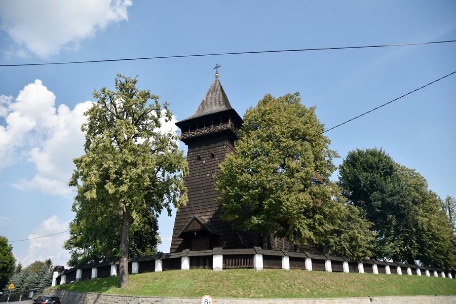 Skrzyszów, Kościół św. Stanisława w Skrzyszowie 55.jpg
Photo: Jacek Daczyński via Wikimedia Commons, CC BY-SA 4.0
Skrzyszów, Kościół św. Stanisława w Skrzyszowie 55.jpg
Photo: Jacek Daczyński via Wikimedia Commons, CC BY-SA 4.0
Skrzyszów at a glance
- Three described circular routes start and end in Skrzyszów; they range in length from 27 to 40 kilometres.
- The yellow cycling route is 12.5 kilometres long and passes Lake Skrzyszów.
- A footpath and cycle path more than 950 metres long runs alongside the Korzeń Reservoir in the centre.
- The varied terrain is suitable for hiking and cycling.
Which cycling route suits your plans?
At 40 kilometres, the blue circular route is the longest of the three described loops. It starts and ends in Skrzyszów and runs through Szynwałd, Pogórska Wola, Żdżary, Jodłówka-Wałki, Pogórska Wola again, and Ładna. The green route is 27.3 kilometres long; it runs through Szynwałd, Trzemesna, Łękawica, Zawada and Łękawica again before returning to Skrzyszów.
The red circular route is 27 kilometres long. It connects Skrzyszów with Szynwałd, Zalasowa, Trzemesna and Łękawica, then returns to the starting point. The green and red routes are therefore almost the same length, but pass through different places: Zawada is on the green route, while Zalasowa is on the red route. The route length and these place names offer two concrete points of comparison.
At 12.5 kilometres, the yellow cycling route is shorter than the three circular routes. One of its attractions is Lake Skrzyszów, which the route passes. When choosing your route, check the route information again before setting off.
How does the landscape change in Skrzyszów?
The terrain in the northwestern part is flat and level. Sand dunes shape the landscape there, and pine forests stabilise them. The forest cover is relatively well preserved and has comparatively high biological and habitat diversity. In the southeast, by contrast, the terrain features are typical of low foothills.
These described landscape features give the area a varied character without requiring you to generalise about any single route. For hikers and cyclists, practical orientation is straightforward too: the terrain in Skrzyszów is suitable for both activities. You can therefore consider the landscape separately from the length and course of the designated cycling routes when making your choice.
What should you know about the Korzeń Reservoir?
In central Skrzyszów, a footpath and cycle path more than 950 metres long runs alongside the Korzeń Reservoir. This identifies a specific stretch of path by the water, while the yellow cycling route passes Lake Skrzyszów. Treat these as two different place names. If you plan to use the path by the Korzeń Reservoir, check its condition and accessibility before your visit.
If you’d like to discover more destinations: Wojnicz, Wola Rzędzińska, Zbylitowska Góra, Pleśna, Rychwald, Milówka, Ładna and Meszna Opacka.
FAQ
Which circular routes start and end in Skrzyszów?
The blue circular route is 40 kilometres long, the green route is 27.3 kilometres and the red route is 27 kilometres. All three start and end in Skrzyszów, and their courses pass through different named places.
Which cycling route passes Lake Skrzyszów?
The 12.5-kilometre yellow cycling route passes Lake Skrzyszów, one of its attractions.
Is Skrzyszów suitable for hiking or cycling?
The varied terrain in Skrzyszów is suitable for hiking and cycling. The northwest is flat and characterised by sand dunes and pine forests; in the southeast, the terrain features are typical of low foothills.
For the broader travel overview: Tarnów.

