
Dâmbovicioara: Mountain Route, Cliffs and Watercourses
Accommodation in Dâmbovicioara
On the Podu Dâmboviţei–Dâmbovicioara–Brusturet mountain route, the section through the Dâmbovicioarei Gorges extends for 3 km beneath vertical rock walls up to 200 m high, ending above Dâmbovicioara Cave. The route comprises 5 km of paved road from Podu Dâmboviţei to Dâmbovicioara, followed by 6 km of forest road to Brusturet. This makes it possible to account separately in the day plan for the gorge section, the two road surfaces and the total route.
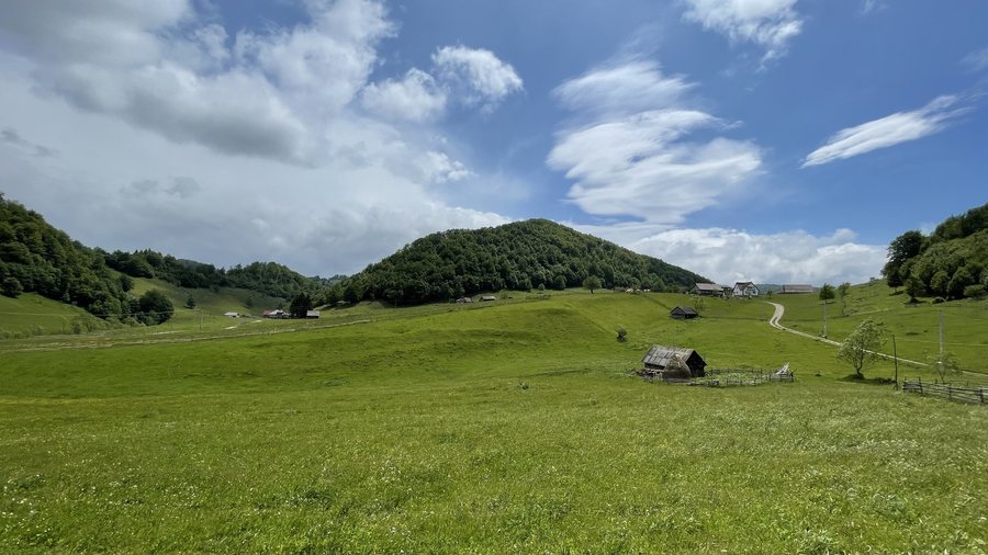 File:Gâlma Danciului, Ciocanu, Dâmbovicioara, Argeș.jpg
Photo: Dpvue via Wikimedia Commons, CC BY-SA 4.0
File:Gâlma Danciului, Ciocanu, Dâmbovicioara, Argeș.jpg
Photo: Dpvue via Wikimedia Commons, CC BY-SA 4.0
Trails
The Brusturet–Valea Seacă a Pietrelor–Grindu or Vlădușca trail is marked with a blue cross, is approximately 6 km long, takes 2–3 hours and has an elevation gain of 423 m. On the Podu Dâmboviței–Dâmbovicioara–Brusturet route, you can continue from this point after a short break along marked mountain trails 2 and 3. The trail leading through the Brusturet Gorges begins at Dâmbovicioara Cave and is easily accessible. For personal planning, trail markings, walking time, route length and elevation gain are available as separate points of comparison. The two routes can therefore be assessed according to different characteristics: the mountain route combines paved road and forest road, while the trail marked with a blue cross is described by its marking, duration and elevation gain. These details help you consider the road section and marked mountain trail separately.
Nature
Dâmbovicioara Cave is located approximately 1 km north of Dâmbovicioara. It is easily accessible to tourists, as it lies directly on the road through the Dâmbovicioarei Gorges. Izvoarele din Plai consists of several watercourses that emerge from a rock in cascades. Peștera Dracilor, also called Gaura Brusturetului, lies at the foot of high cliffs near the confluence of the Brusturet and the Valea Muierii. La Gâlgoaie is a powerful rush of water that emerges at the foot of a 200 m-high limestone wall. A habitat exists in the Dâmbovicioarei Gorges in Piatra Craiului at an elevation of 750–1,000 m. Watercourses, the rush of water, caves and rock walls form distinct natural points of interest. The caves are located at specific points along the route, while Izvoarele din Plai, La Gâlgoaie and the confluence mark separate landscape references. The elevation of 750–1,000 m describes the habitat in the Dâmbovicioarei Gorges independently of these individual natural features. This places specific landforms alongside the spatial classification of the habitat.
Culture
Sequences for the Romanian television series “Toate pânzele sus!” were filmed in the Dâmbovicioarei Gorges. This reference supplements the landscape and trail descriptions with a specific motif from the history of Romanian television.
For a hotel in Dâmbovicioara, travel dates, room category and cancellation conditions can be compared as separate details.
Other destinations in the same selection are Vlădești, Schitu Golești, Valea Mare-Bratia, Dragoslavele, Bascov, Valea Mare Pravăț, Mioveni and Argeșelu.
To the overview of the higher-level destination: Argeş.

