
Vlădești: Village History and Hilly Landscape
Accommodation in Vlădești
Culture
Vlădești offers a direct encounter with a local history that can be seen in specific buildings and places of remembrance. The Church of “Tăierea Capului Sfântului Ioan Botezătorul” in Vlădești is a historic monument dating from 1657. Its rectangular floor plan is divided according to the Byzantine rite into the altar area, naos and pronaos. The Curtea boierilor Vlădescu ensemble in the village of Vlădești, Vlădești commune, dates from the 17th century. The village of Vlădești is documented in a charter issued on 23 August 1437 by the chancery of Vlad Dracul. The war memorial in Vlădești commemorates those who fell in the War of Independence, the First World War and the Second World War.
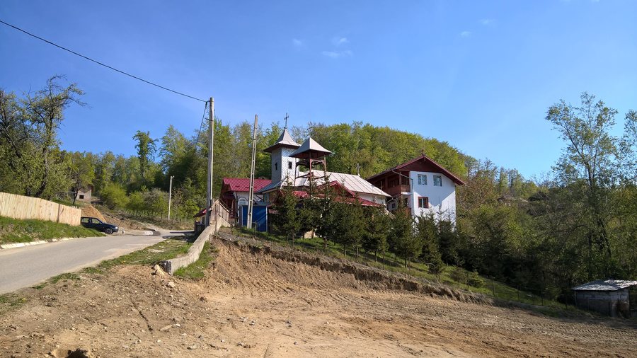
Today, only the ruins of a compact, square building from the 17th century remain in the immediate vicinity of the Church of “Tăierea Capului Sfântului Ioan Botezătorul”. It may have been the former Cula Vlădescu; the masonry consists of stone and brick.
Those interested in culture can assess architectural forms, historical periods and commemorative culture separately. Sacred architecture, a historic ensemble, a written record, a war memorial and a partially preserved building each represent a distinct approach to the local history.
Nature
The territory of Vlădești commune lies on the northeastern edge of the Getic Plateau, in the Dealurile Argeșului subregion, which belongs to the group of high, hilly piedmont regions. The territory of Vlădești commune has uneven Cândești-type relief. It also belongs to the transition zone between beech and sessile oak stands, whose boundaries lie between 300 m and 700–800 m in elevation. The Bratia River crosses the territory of Vlădești commune.
Relief, elevation levels and the course of the river describe the natural area from different perspectives. For planning purposes, these scales can be considered separately: the landscape form places the terrain in context, the elevation range describes the vegetation zone and the river marks another geographical element.
Geographical Location
County road DJ 732 runs along the Stâlpeni (DN 73)–Vlădești–Slănic (DN 73C) corridor, connects DN 73 with DN 73C and is 25.188 km long.
The road information provides a separate point of comparison alongside culture, nature and the event date. Those organizing different travel components can therefore consider the road corridor independently of the historical and landscape highlights.
When planning a hotel stay in Vlădești, travel dates, room category and cancellation policies can be considered as three separate comparison fields. These fields make different booking conditions directly comparable. Anyone comparing a hotel in Vlădești can read these three details separately: travel dates indicate the desired period, the room category describes the intended room type and cancellation policies govern how changes are handled. This keeps the accommodation information separate from the cultural and landscape topics of the destination.
Event
For 21 February, a traditional village hora was scheduled in Vlădești as part of the “Hora din inima satului” program.

.jpg)