
Turnu Măgurele between History and the Danube
Accommodation in Turnu Măgurele
Turnu Măgurele combines cultural history with the Danube floodplain and the transport routes along the river. The city itself is home to individual monuments and historic buildings, while ruins, protected areas, and landscape features extend south of the city. This creates a townscape in which the city’s history, waterscape, and regional connections can be clearly distinguished from one another.
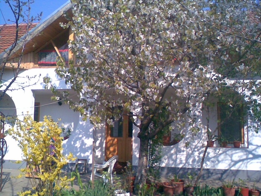 File:Odaia, Turnu Măgurele, Romania - panoramio.jpg
Photo: chilipirea tatiana via Wikimedia Commons, CC BY 3.0
File:Odaia, Turnu Măgurele, Romania - panoramio.jpg
Photo: chilipirea tatiana via Wikimedia Commons, CC BY 3.0
More local pages: Videle, Stefan-Cel-Mare, Mariţa, Islaz, Bogdana, Alexandria, Zimnicea and Baciu.
Culture and History
The Catedrala Sfântul Haralambie is listed as a Class A historic monument. The municipal museum is located in the city center, in the immediate vicinity of the cathedral. As a result, the religious building and the urban museum setting are among Turnu Măgurele’s cultural sites located particularly close to one another.
The Dorobantul Monument commemorates the local hero Tudorică Nicolae, who fell in the War of Independence. Its central element is a bronze round sculpture of a soldier in field uniform. Two cannons captured at Plevna flank the monument and complement its military-historical design.
The “Turnu” archaeological site is a medieval and early modern fortress dating from the 14th to the 19th century. The water tower of Turnu Măgurele was built in 1915 and served the city’s water supply. At Calea Dunării 1 stands the Prefect’s House, a local historic monument from 1890 in the French Eclecticism style. Together, these sites cover different periods and building functions: fortress, utility facility, and representative building.
Danube and Nature
The ruins of Cetatea Turnu lie in the Danube floodplain south of Turnu Măgurele, 4 km from the city and 1 km from the confluence of the Olt and Danube. During the reign of Mircea cel Bătrân, Cetatea Turnu played an important role in the defense system of Wallachia. The site therefore combines a specific riverside location with a historical connection to the medieval history of Wallachia.
The ROSCI0044 Corabia Turnu-Măgurele Natura 2000 site is located in the wider Corabia–Turnu Măgurele area. In the areas near the Olt and Sâi rivers, there are opportunities for cycling. The protected area, river environments, and cycling opportunities represent different natural and recreational aspects that can be considered separately when planning a trip.
Connections
A ferry crossing on the Danube connects Turnu Măgurele with Nikopol. A bus route connects Bucharest, Turnu Măgurele, and Corabia. These two details represent different types of regional connection: the ferry crosses the Danube to Nikopol, while the bus route links several Romanian cities along a land-based route. The Danube is thus both a landscape and a transport route.
“Bâlciul Annual” is a local event in Turnu Măgurele.
When choosing a hotel in Turnu Măgurele, travel dates, room category, and cancellation conditions can be compared separately. This information helps keep the framework transparent without mixing historic sites, the river landscape, or regional connections with accommodation features. This keeps the decision between available offers comprehensible. Travelers can therefore consider cost details and room features independently of the attractions.
For the overarching travel overview: Teleorman.

