
Kraľovany: Hotels between Orava, Váh and Fatra
Accommodation in Kraľovany
Kraľovany is located in the Ľubochňa gorge and at the confluence of the Orava and Váh rivers. The northern part of the village belongs to the Lesser Fatra, while the southern part belongs to the Greater Fatra. The cadastral area also extends into protected mountain landscapes: this includes an area in the Lesser Fatra National Park, as well as the protection zone of the Greater Fatra Protected Landscape Area.
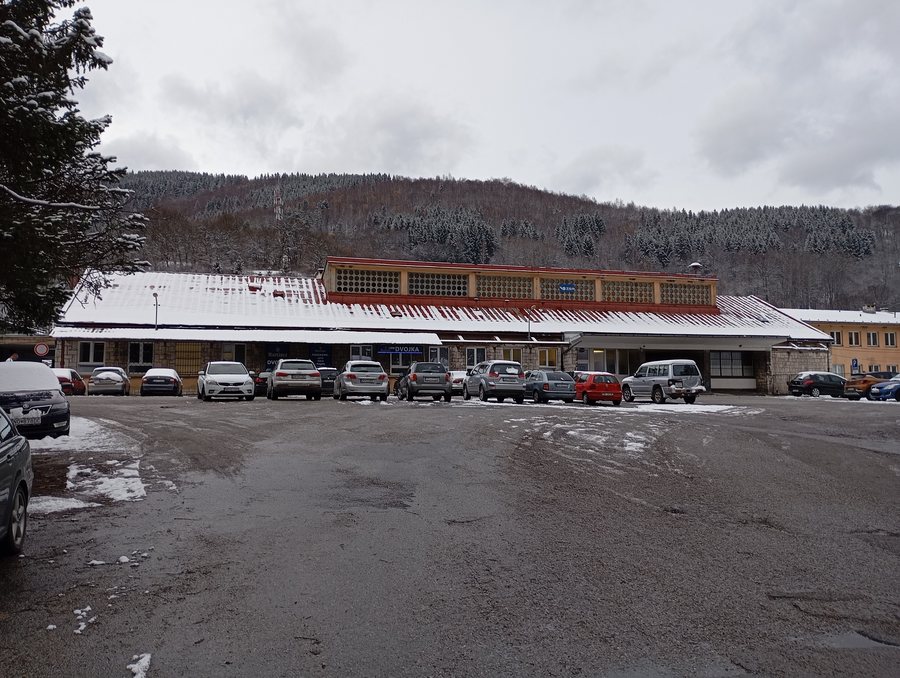 File:Kraľovany train station, Slovakia, November 22, 2024 - 01.jpg
Photo: Oto Zapletal via Wikimedia Commons, CC BY 4.0
File:Kraľovany train station, Slovakia, November 22, 2024 - 01.jpg
Photo: Oto Zapletal via Wikimedia Commons, CC BY 4.0
Nature
A distinctive natural feature is the Kraľoviansky meander protected site. It is a rare form of river relief, namely an antecedent gorge of the Váh through a spur of the Greater Fatra. The Kraľoviansky meander protected area covers 18 ha. The landscape and conditions in the mountainous area around Kraľovany also provide a suitable habitat for brown bears, wolves, badgers and lynxes. The wildcat occurs sporadically.
The surrounding forests of Kraľovany offer opportunities for hiking and cycling. As a result, wooded mountain areas, along with the river and protected areas, are also a central feature of the village. The connection between the Lesser and Greater Fatra remains geographically clear: the north lies in the Lesser Fatra, while the south is assigned to the Greater Fatra.
Hiking
Stoh is a distinctive, 1,607.4 m-high grassy peak on the main ridge of the Kriváň section of the Lesser Fatra. The summit is a viewpoint with panoramic views, especially of the neighbouring peaks Veľký Rozsutec and Poludňový grúň. A green-marked hiking trail leads from the municipality of Kraľovany to the summit of Stoh.
The hike to Stoh starts at Kraľovany railway station, leads via Žobrák to Stoh, and then returns via Žobrák to Kraľovany railway station. The route therefore connects the railway station, the aforementioned crossing via Žobrák and the summit in a defined out-and-back route. For cyclists and hikers, the surrounding forests complement this mountain offering, without the individual activities being combined into a single route.
Landscape and bodies of water
In the Kraľovany-Rieka district there is a flooded quarry lake used for recreational purposes. The lake thus represents, alongside the confluence of the Orava and Váh rivers and the Kraľoviansky meander, the different forms of water landscape in the Kraľovany area.
Culture and history
The Evangelical church in Kraľovany was built between 1912 and 1913 and consecrated on 19 October 1913. The oldest surviving mention of the Kraľovany settlement dates from 1363. This mention refers to a trade route from Sučany via Kraľovany to Ružomberok.
Rafting is also part of the village's history. It reached its greatest prosperity in Kraľovany and continued until the middle of the 20th century. Thus, alongside the church and the medieval reference, transport and river history are also connected with the village.
Connections
Kraľovany is an important railway junction for line 180 from Žilina to Košice and line 181 from Kraľovany to Trstená. Kraľovany railway station is also the starting and return point of the described hike via Žobrák to Stoh.
Other places
Other places: Vyšný Kubín, Oravska Poruba, Srňacie, Veličná, Párnica, Dolný Kubín, Oravský Podzámok, Zázrivá.
To the higher-level travel overview: Dolný Kubín District.

