
Hvozdec: Hotels and Accommodation
Accommodation in Hvozdec
Drátenický Pond is the largest and most valuable body of water in the municipality of Hvozdec.
Nature and Landscape
The municipality of Hvozdec encompasses a mixed landscape of uplands and rolling hills on the edge of the Brdy forest massif. At 536 m above sea level, Chlum is the area's dominant elevation and is predominantly covered with deciduous forest; conifers are present only to a limited extent.
The floodplain of the Červený potok in Mrtník is a valuable landscape feature.
Culture and Local Character
Several houses, some partly built using timber construction, have been preserved in Hvozdec. The village is also home to a Boží muka, a Baroque sandstone wayside cross dating from 1703.
The Church of the Nativity of the Virgin Mary in Mrtník was built in 1352 on the site of an earlier chapel. Its cast-iron interior fittings were created by ironworkers and foundry workers from Komárov.
The Church of the Nativity of the Virgin Mary can be reached from Hvozdec via local roads. Cycle Route 0006, the green-marked hiking trail and the NS Okolím Komárova educational trail run by the church.
Cycle Paths
The marked Cycle Route 8244 is 34.1 km long and passes the chapel in Hvozdec along its route.
The “Z Hořovic na Záskalskou a do Komárova” cycle route reaches Hvozdec from Hořovice via Valdecká and Kamenná Streets as well as a local road. It passes through a landscape offering frequent views of the surrounding area and the nearby Brdy region.
Other local pages from the surrounding area: Lážovice, Újezd, Svatý Jan Pod Skalou, Skřipel, Zajecov, Broumy, Měňany and Hostomice Pod Brdy.
To the higher-level travel overview: Beroun District.

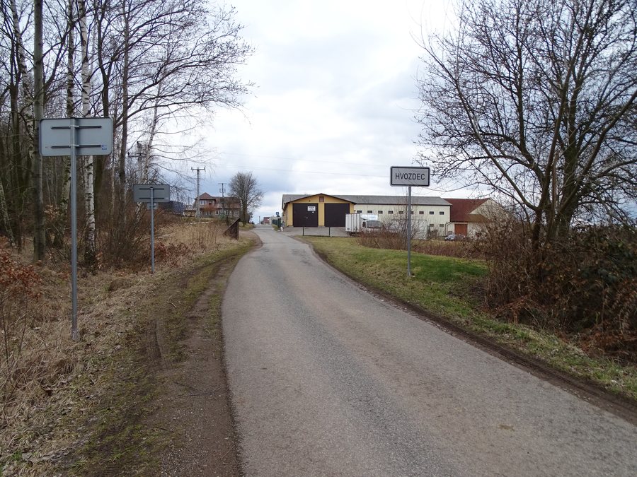
,_cesta_z_Podluh,_za%C4%8D%C3%A1tek_obce.jpg)