
Kolomuty: Hotels and Accommodation
Accommodation in Kolomuty
In Kolomuty, archaeological traces, a historic village green, and the landscape along the Klenice come together. The village thus combines visible evidence of its history with paths and landscape areas that shape the municipality.
Culture and History
At the site of the former stronghold, an approximately 2 m high elevation with a 5 × 3 m barrel-vaulted cellar has been preserved. The site of the former stronghold of Kolomuty and the village center in the center of Kolomuty are recorded as an archaeological site. Jan z Kolomut is documented as early as 1311 as the first member of the local noble family.
Stone tools from the Neolithic period have been found in the area of Kolomuty, including flat axes and adzes approximately 7,000 years old. A vessel from the Roman period dating from 400–0 BC, found in Kolomuty, is housed in the archaeological collection of the Muzeum Mladoboleslavska. In addition, a cemetery of the Urnfield culture from the Late Bronze Age was accidentally discovered while plowing in 1923. It is associated with the Lusatian and Silesian-Platěnice cultures and is approximately 3,000 years old. A Bell Beaker-type vessel from the same area indicates that new ethnic groups from Western Europe settled there approximately 4,000 years ago.
Villagescape
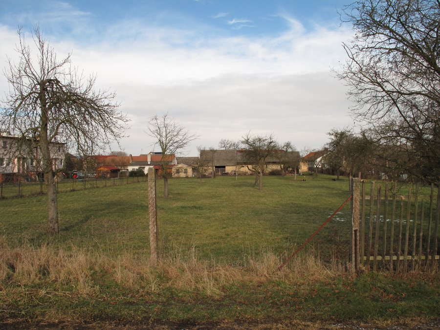
The statue of Saint Joseph stands in the middle of Kolomuty’s historic village green. On the western side of this historic village green is a masonry chapel with a bell tower constructed using post-and-beam techniques.
Landscape
The Klenice watercourse and its floodplain are defining landscape features of Kolomuty. They serve landscape-shaping, ecological-stabilization, and recreational functions. In the southern part of the municipality, the wooded Chlum ridge forms an important recreational landscape for the municipality’s residents.
Paths and Location
Cycle route 8148 runs through Kolomuty and follows the Klenice. Cycle route 8155 runs through Kolomuty between Bakov nad Jizerou and Kosořice and connects to the Greenway Jizera in Bakov nad Jizerou.
A combined cycle and pedestrian path is planned between Kolomuty and Plazy along road III/27515. It is intended to become part of the cycle network in the east of the Mladá Boleslav agglomeration and to be marked with signs C9a/b. Kolomuty railway stop is approximately a 600 m walk from the village center and is located about 50 m beyond the municipal boundary in the neighboring municipality of Židněves.
Other Places
Plužná, Horky Nad Jizerou, Nepřevázka, Ledce, Žehrov, Malé Horky, Ledce U Mladé Boleslavi, Ctiměřice
For the higher-level travel overview: Mladá Boleslav District.

