
Ujkovice: Hotels and Accommodation
Accommodation in Ujkovice
The area around Ujkovice features a picturesque Central Bohemian landscape with many, partly small ponds.
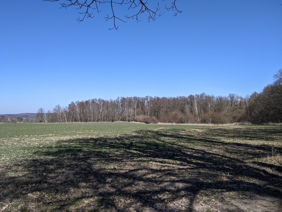 File:Ujkovice - krajina jihovýchodně od vsi na okraji lesa východně od silnice k Prodašicům.jpg
Photo: MartinVeselka via Source, CC BY-SA 4.0
File:Ujkovice - krajina jihovýchodně od vsi na okraji lesa východně od silnice k Prodašicům.jpg
Photo: MartinVeselka via Source, CC BY-SA 4.0
Culture and History
The only registered immovable cultural monument in Ujkovice is the archaeological remains of a fortress. The fortress site lies north of the farmyard at the edge of a terrain terrace; on three sides, it is protected by a ditch and on the northern side by a slope. The fortress probably originated at the beginning of the 14th century, is still mentioned as existing in 1517, and is described as abandoned in the following decades.
The documented history of Ujkovice begins in 1088 under the former name Hejkovice; some older residents still occasionally use this name today. The region's history also includes the former Dětenice–Dobrovice railway line. It was a single-track local line, originally privately owned by Count Thurn-Taxis. Freight traffic began in 1883, passenger traffic in 1902, and nationalization took place in 1908. Passenger traffic ended in 1970, and the line was closed in 1974.
Nature and Bodies of Water
There are five ponds in Ujkovice; the largest are located on the Hasinský potok: Borečovský covers 8.2 ha and Kabát 5.1 ha. The pond system of Kabát and Borečovský, registered as HKS, covers 42.9 ha in the cadastral areas of Ujkovice and Domousnice. It lies beneath a wooded slope and includes wetland and meadow communities, reed beds, groups of trees, and riparian woodland; the area has a diverse range of species and is significant as a zoological site.
The western edge of the Dymokursko Site of Community Importance (CZ0210101) extends into the southeast of Ujkovice. Within the municipality, it covers 59.54 ha, out of a total area of 4,309.24 ha.
Nature in Ujkovice also includes an oak tree. On May 19, 2011, its trunk circumference at a height of 1.3 m was 840 cm; its age is estimated at approximately 500 years.
Marked Trails
A marked hiking trail passes along the northern edge of Ujkovice and continues via the former military hospital, a recreational area, and the former Karlovec forester's lodge to Ledce.
Another marked hiking route leads west from Ujkovice to the Borečovský pond and Kabát pond, circles both to the east, and then continues to Rabakov.
Other Locality Pages
Other locality pages: Vinec, Písková Lhota, Krásná Ves, Obrubce, Klášter Hradiště Nad Jizerou, Čachovice, Strážiště, Kovanec.
To the higher-level travel overview: Mladá Boleslav District.

