
Horní Staré Buky: Hotels and accommodations
Accommodation in Horní Staré Buky
In the historic settlement landscape of Staré Buky, the land parcels are laid out essentially perpendicular to the valley of the Starobucký potok. At the same time, they take the contours of the hilly terrain into account.
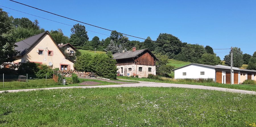 File:Staré Buky, Horní Staré Buky, common II.jpg
Photo: Pavel Hrdlička (Czech Wikipedia user Packa ) via Wikimedia Commons, CC BY-SA 4.0
File:Staré Buky, Horní Staré Buky, common II.jpg
Photo: Pavel Hrdlička (Czech Wikipedia user Packa ) via Wikimedia Commons, CC BY-SA 4.0
Settlement and waterways
Historically, Horní Staré Buky was one of three independent villages called Dolní Staré Buky, Prostřední Staré Buky and Horní Staré Buky. The three settlements stretched for approximately five kilometres along both banks of the Starobucký potok.
Within the built-up area of Horní Staré Buky, the Starobucký potok first receives a left-bank tributary and, further downstream, the Žďárský potok. It rises at the eastern edge of the municipality of Staré Buky and is 10.5 kilometres long.
History and culture
The “Starobucké Hradčany” building dates from the mid-1990s. “Starobucké Hradčany” is a state-owned agricultural enterprise in Horní Staré Buky and is regarded as a memorial to this period. A restored cross stands on a forest path between Střítěž and Horní Staré Buky, near Hainova Dvůr. An iron cross has also been restored; its upper stone section is heavily weathered.
Surroundings
The Lázně church is located near Horní Staré Buky. Jański Wierch is a mountain in the immediate vicinity. In the wider regional surroundings of Horní Staré Buky are the Spalona Strażnica ruins, the Opactwo Cysterskie w Krzeszowie monastery, and the mountains Kobyla Góra, Mrowiniec and Černá hora.
More local pages
Libotov, Kocléřov, Doubravice U Dvora Králové, Pec Pod Snežkou, Velké Svatoňovice, Bílé Poličany, Hostinne, Stanovice U Kuksu
For the higher-level travel overview: Trutnov District.

