
Býkov-Láryšov: Church, Hills and Hiking Trails
Accommodation in Býkov-Láryšov
Between Býkov and Láryšov
Býkov-Láryšov consists of the two districts of Býkov and Láryšov. Láryšov is located two kilometres from Býkov. Býkov was founded in 1238, while Láryšov was founded in 1793 on the site of a former pond. The different dates of foundation give the municipality a long history, which is reflected in its own way in both districts. The two districts bring together different historical points of reference: Býkov represents the church and the older history of the settlement, while Láryšov has its own focus with its chapel, fire station and foundation on the site of the former pond.
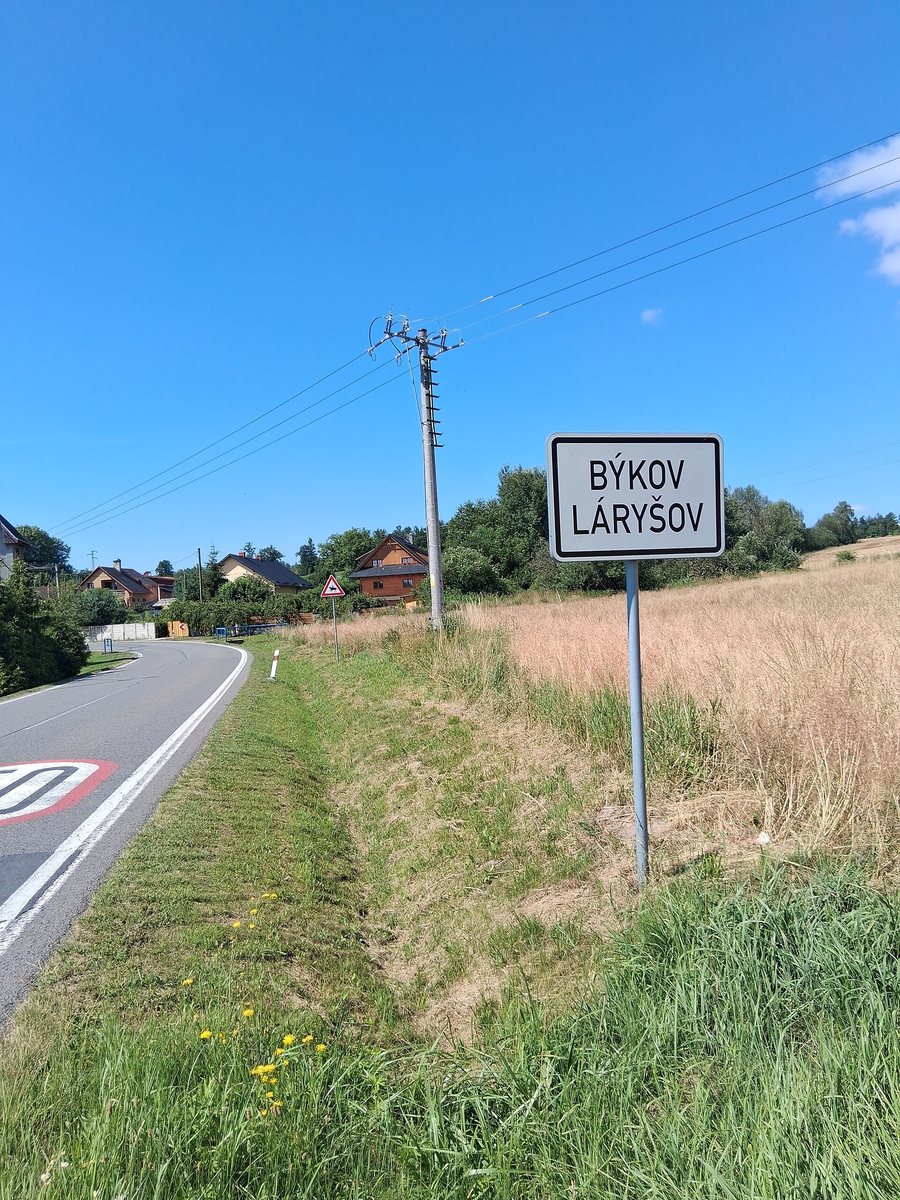
History reflected in the townscape
Býkov owes its name to cattle breeding, which was the settlers’ most important livelihood at the time of its foundation. The first school in Býkov-Láryšov was founded between 1780 and 1790. Historically, beekeeping was very popular in Býkov-Láryšov. In Láryšov, the chapel dates from 1848 and the fire station from 1921. Thus, religious, communal and everyday local history come together in Láryšov in several specific buildings.
Church of Our Lady of Mount Carmel in Býkov
The Church of Our Lady of Mount Carmel is one of the cultural monuments of Býkov-Láryšov. The Church of Our Lady of Mount Carmel is located in the Býkov district of Býkov-Láryšov and was built in 1727. It therefore provides a specific historical point of interest in the Býkov district, visibly complementing the village’s older history.
Streams, Ponds and Hills
The cadastral area of the municipality of Býkov-Láryšov is bounded by the Čížina and the Hájnický potok. The Černý potok rises in Býkov, the Čížina flows south of Býkov-Láryšov, and the Hájnický potok flows through Láryšov. Two ponds were built near the municipality on the Hájnický potok. The bodies of water mentioned are therefore situated in different relationships to the two districts and form several fixed points of reference in the surrounding area.
Above Býkov, the Ovčák hill reaches an elevation of 486 metres. The Rybničná hill above Láryšov is 20 metres higher than Ovčák. The Pochev reservoir lies southeast of Býkov and is used as a natural swimming pool. Watercourses, ponds and the two named elevations thus shape the landscape around the districts.
Cycling and Hiking
Býkov-Láryšov has developed cycling routes and marked hiking trails. One local cycling route leads westwards from the municipality into the Hrubý Jeseník area. Another local cycling route leads eastwards from the municipality via a border crossing near Úvalno to Poland. The two cycling directions thus open up different landscapes and connect the municipality with destinations to its west and east.
The green-marked hiking trail leads northwards from the municipality past the Hájnický ponds and the Šelenburk castle ruins, located at an elevation of 423 metres, to Krnov. Near a forest lodge, another green-marked hiking trail also runs eastwards to Úvalno. The trails open up Býkov-Láryšov in several directions and connect local history with surrounding landscapes without prescribing a single focus for an excursion.
Further places: Milotice Nad Opavou, Nova Plan, Mala Moravka, Zator, Nové Heřminovy, Slezské Rudoltice, Moravskoslezský Kočov, Úvalno
To the higher-level travel overview: Bruntál District.

