
Velká Kraš: Hotels and Accommodation
Accommodation in Velká Kraš
The municipality of Velká Kraš covers a fertile part of the Vidnavská nížina near the Polish state border. The Žulovská pahorkatina forms the southern edge of Velká Kraš, while the Vidnávka River forms the landscape axis of Velká Kraš and its associated settlements.
Nature and Landscape
At 221 m above sea level, the municipality of Velká Kraš contains the lowest point in the Jeseník District. The Vidnávka leaves the area at this point. Smolný Mountain in Velká Kraš reaches an elevation of 440 m above sea level.
Paths and Routes
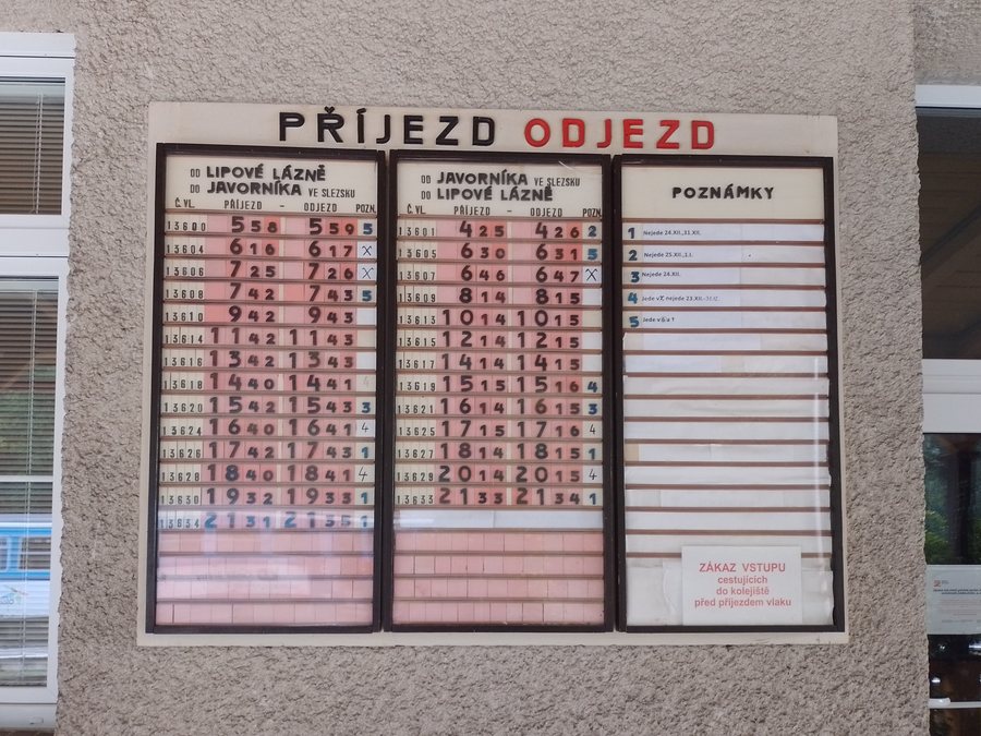
The cycling variant of the Stezka Slezskem route leads from Vidnava back to the Velká Kraš trail junction and then continues along marked cycling paths. Near Velká Kraš, the route identifies a trail junction with a shelter; a campsite is located 200 m to the south. The Via Czechia Stezka Slezskem route also passes through Velká Kraš and Hukovice to a railway station.
The trail along the Černý potok follows the Černý potok stream; its stated destination is the car park at the outdoor swimming pool in Velká Kraš near Vidnava. The route is 28.89 km long and has an easy difficulty level.
Culture and History
Since the 19th century, Velká Kraš has been a centre of stone extraction and processing. Velká Kraš is also home to the Kostel sv. Floriána Church, a Neoclassical building completed in 1799.
The Panny Marie Chapel is a listed, detached small Neoclassical chapel probably dating from the late 19th century. It is freely accessible. In Hukovice, a chapel dedicated to the Virgin Mary was built in 1770; after 1804, the municipality had it converted into a Neoclassical church.
Other Places
Other places: Kobylá Nad Vidnavkou, Mikulovice U Jeseníku, Bobrovník, Vlčice, Vápenná, Supíkovice, Velké Kunětice, Bernartice U Javorníka.
To the higher-level travel overview: Jeseník District.

