
Vincencov: Hotels and Accommodations
Accommodation in Vincencov
Geographical Location
Vincencov lies at the transition between Haná and the Drahanská vrchovina. This location connects the flat Haná region with the first hills of the Drahanská vrchovina and places the village in the Předina region.
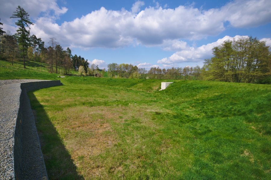 File:Suchý polder severozápadně od obce, Vincencov, okres Prostějov (02).jpg
Photo: Jiří Komárek via Wikimedia Commons, CC BY-SA 4.0
File:Suchý polder severozápadně od obce, Vincencov, okres Prostějov (02).jpg
Photo: Jiří Komárek via Wikimedia Commons, CC BY-SA 4.0
Culture
The Chapel of St. Florian is a local landmark and also an important symbol of Vincencov. There is also a memorial plaque in Vincencov at the chapel commemorating the victims of the First World War.
Landscape and Water
The horizon around Vincencov is characterized by fields, pastures, and forests. The surrounding area is an agricultural landscape with fields, copses, and forests. The Předina region includes agricultural land, waterways and ponds, meadows and forests, as well as the flat Haná region and the first hills of the Drahanská vrchovina.
The Kelčický potok stream flows through Vincencov. A small pond called Rybníček lies along its course in Vincencov. From Vincencov, there is also a view of Haná with the prominent landmarks Sv. Kopeček and Sv. Hostýn.
Cycling
The Předinou za poznáním educational trail includes two marked cycling routes with lengths of 45 km and 21 km, respectively.
Local Character
There is a restaurant in the community center of Vincencov.
Other Places
Vranovice-Kelčice, Dětkovice, Rakůvka, Ohrozim, Hluchov, Biskupice Na Hané, Brodek U Konice, Slatinky
To the main travel overview: Prostějov District.

.jpg)