
Lhůta: Hotels and accommodation
Accommodation in Lhůta
Lhůta is situated in gently rolling terrain and is largely surrounded by forests and agricultural land. The village lies between the Sutice forest area with Spálený vrch and the Lhůtský potok stream. The landscape around Lhůta also includes the Kozelské polesí forest area and Mount Maršál, which rises to 562 m.
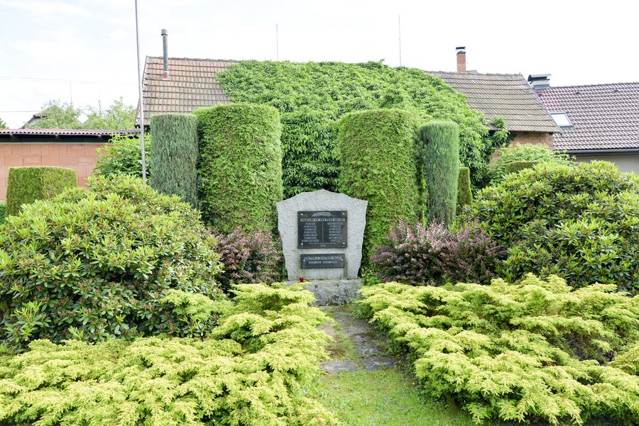
Landscape
The protected areas associated with Lhůta include Kornatický potok Nature Park and the PP Sedlecká rokle protected area.
History and culture
The first written reference to the municipality of Lhůta dates from 1366, when it was called Lhota. The name Lhota derives from the historical term lhóta or lehota, which referred to a period during which the inhabitants of newly established settlements were exempt from certain obligations to the authorities. The municipality's official name was changed to “Lhůta” in 1924.
Kovárna Hvížďalka is one of the few surviving examples of a coachmen's forge with a representative residential building.
Activities
Cycle Route 2154 runs from Lhůta to Mirošov and is 16 km long. Since 2001, Lhůta's volunteer firefighters have organised the Tříkrálový vejšlap to Mount Maršál.
On site
Social and entertainment events are regularly held at Hostinec Pod Maršálem. Beer, other drinks and refreshments are available there.
To the higher-level travel overview: Okres Plzeň-Město.
More destinations
Other places in the same destination:

