
Meinetschlag: Hotels and Accommodation
Accommodation in Meinetschlag
Malonty lies on the edge of the Novohradské hory Protected Landscape Area at an elevation of 690 m. The area around Malonty is suitable for hiking tourism and offers opportunities for fishing.
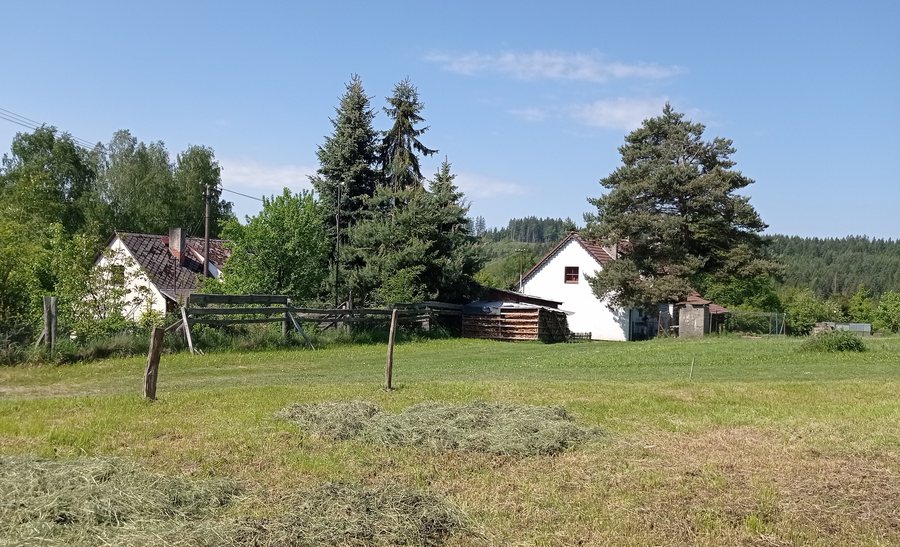
Nature and Trails
The virtual educational trail of the school in Malonty is approximately 5 km long.
The route from the village square in Malonty to Jelení vrch is 4.91 km long and takes approximately two hours on foot. Jelení vrch, also called Doppler, is 956 m high.
Those who have chosen Meinetschlag as their destination may wish to book a hotel.
Culture and History
Malonty was first mentioned in writing in 1360. Early settlers founded two glassworks in the area around Malonty.
A stone late Gothic wayside shrine from the 16th century stands on the road from Malonty to Kaplice.
The two-nave part of the Church of St. Bartholomew in Malonty was built shortly after the choir, in the first quarter or first third of the 15th century.
The stone, plastered Church of St. Bartholomew stands on a hill above Malonty, in the middle of the cemetery. The Chapel of St. Barbara is part of the church complex in Malonty; the choir of St. Bartholomew is attached to the southern wall of the chapel.
Another place in the place directory is Jaromer.
To the higher-level travel overview: Okres Český Krumlov.
More Destinations
More places under the same destination:

,_houses_in_the_north_01.jpg)