
Vitín: Hotels and Accommodation
Accommodation in Vitín
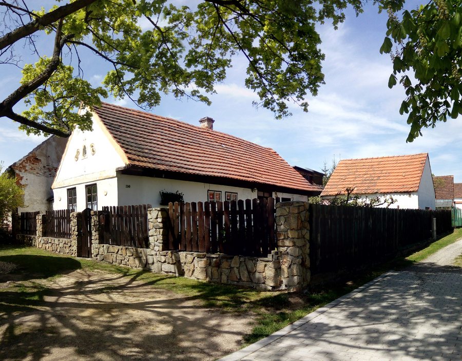
The layout of Vitín dates back to the High Middle Ages.
During your stay in Vitín, you may wish to find a hotel.
History
The Vitín barrow cemetery lies on the southeastern slope of Baba Hill. The early medieval Slavic barrow cemetery near Baba above Vitín comprises 69 burial mounds from the late 8th and 9th centuries, arranged in regular rows from west to east. A blue-marked hiking trail leads to the cemetery.
The Chapel of Saint John of Nepomuk is a small brick village chapel with a semicircular apse and a small bell tower in the gable. It is dated to 1815.
Nature
Havlák Pond covers more than 7,000 square metres. The revitalised pond includes a shallow-water zone with an adjacent biotope.
The Hlubocké obory Natura 2000 site includes the cadastral area of Vitín. In South Bohemia, the Hlubocké obory form one of the most valuable complexes of near-natural forest stands, particularly oak-hornbeam forests and lime-beech forests.
Activities
Sport fishing is available at the municipal Havlák Pond. The marked local KČT cycling route No. 1058 runs from Hluboká nad Vltavou via Chotýčany and Vitín to Ševětín.
Geographical Location
The cadastral area of the municipality of Vitín is crossed by the D3 motorway between Prague and České Budějovice.
Other places in the same higher-level area include: Strazkovice, Dubiken, Hermannsdorf, Frauenberg, Locenice, Včelná, Boschiletz, Staré Hodějovice.
For the higher-level travel overview: Okres České Budějovice.

.jpg)