
Malšovice: Hotels and Accommodation
Accommodation in Malšovice
Malšovice stretches geographically from the course of the Elbe at approximately 130 m above sea level to Javorský vrch, the highest point in the municipality at 617 m. The landscape is characterized by meadows and pastures; in many places, there are copses and field margins. The development of the municipality of Malšovice is influenced by the existence of the České středohoří Protected Landscape Area.
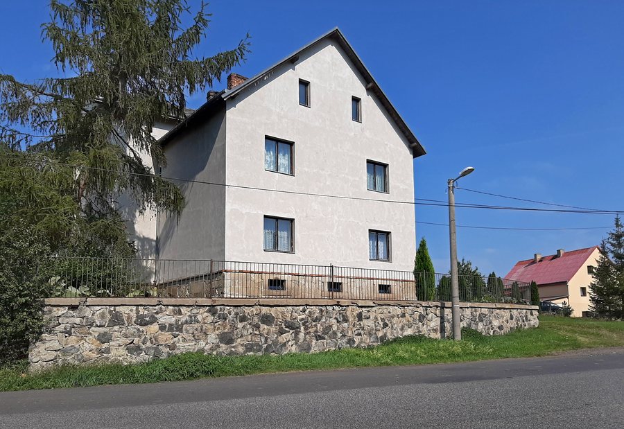 File:Malšovice, Borek, house No 24.jpg
Photo: Pavel Hrdlička (Czech Wikipedia user Packa ) via Wikimedia Commons, CC BY-SA 4.0
File:Malšovice, Borek, house No 24.jpg
Photo: Pavel Hrdlička (Czech Wikipedia user Packa ) via Wikimedia Commons, CC BY-SA 4.0
Landscape and Nature
The Bohyňská lada Nature Reserve lies in the cadastral area of Malšovice. It is connected with Malšovice and covers 41.1383 hectares. It protects wet, mesic and dry grassland ecosystems with orchids and old fruit varieties, as well as oak-hornbeam forests, floodplain forests and the preserved streambed of the Račí potok with its tributaries.
Bohyňská lada is suitable for botanical and other natural history excursions; such excursions already take place there. In the central area of Stará Bohyně, there is also a yew tree designated as a natural monument.
Culture and History
Javory is one of the seven districts of the municipality of Malšovice. The small Church of Saint Procopius stands in the center of the village. It originated as a stone chapel built in 1748–1749 and was finally converted into a late Baroque church between 1772 and 1816. The municipality of Malšovice carried out a restoration project on the building that included, among other things, the façade, windows, doors, roof and sacristy structures, masonry, wooden elements and the interior.
A pilgrimage has been held annually in Javory since 2007 on the feast day of Saint Procopius. Also in Javory, House No. 25 is a listed immovable cultural monument.
The archaeological site of Malšovice has yielded finds from the Lusatian culture. There is also a former medieval fortified manor house there.
Routes and Transport
Railway line No. 090 runs through the municipality of Malšovice; the nearest railway station or halt is Choratice. Malšovice is also connected to Děčín by a first-class road.
Several marked trails and cycling routes pass through the municipality. Cycle Route No. 3068 begins in Malšovice and continues via Choratice and Dobkovice to Slavošov. Route 3067 runs from Děčín via Malšovice and Javory toward Modrá.
A green-marked hiking trail leads through Hliněná and Javory to Jílové; it runs from Dobkovice via Borek and Petrův vrch. A yellow-marked hiking trail leads through Javory and over Javorský vrch.
Other Locality Pages
Other locality pages: Markvartice U Děčína, Verneřice, Janov U Hřenska, Dittersbach, Jiříkov, Staré Krecany, Dolní Poustevna, Rybniště.
To the higher-level travel overview: Děčín District.

