
Bítovčice: Hotels and accommodations
Accommodation in Bítovčice
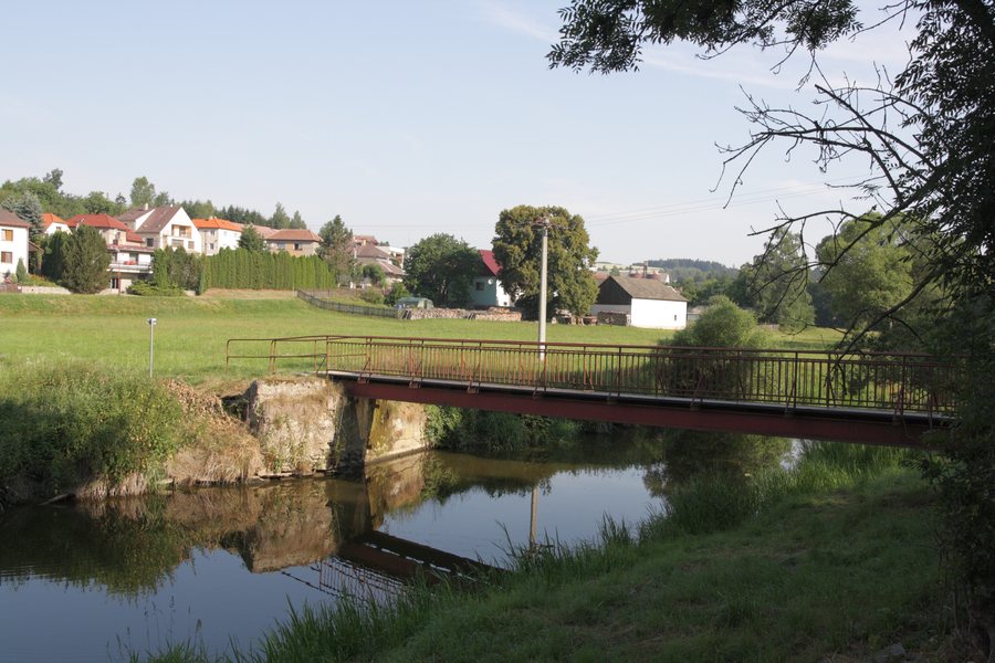
The cadastral area of Horní Bítovčice lies on the left bank of the Jihlava River. The settlement structure of Horní Bítovčice developed from the Jihlava River further upstream along the Křenický potok stream.
Nature and trails
The surroundings of the municipality of Bítovčice form a romantic landscape around the Jihlava River; a recreation area with beautiful nature and several cycling trails is located nearby. Trails around Pahorek offer beautiful views of the surrounding landscape as you ascend.
Cycling Route No. 26 passes through the municipality of Bítovčice. In Horní Bítovčice, there is a red hiking trail designated as a main route, with a length of 1.07 km.
Řehořovský vrch is a mountain in the vicinity of Horní Bítovčice. The mountains of Kopeček, Panský kopec, and Hradiště are located near Horní Bítovčice. Smetanovy sady is a park in the vicinity of Horní Bítovčice.
History and culture
Horní Bítovčice has been documented since 1560. The Chapel of Saint Vitus was built in 1915. The painting of the Holy Family on the rocky outcrop is visible to passers-by and to passengers on the railway line on the opposite side of the river.
Roštejn [Doupě] is a castle in the wider region around Horní Bítovčice. Janštejn is a ruin in the wider region around Horní Bítovčice. Svatý Marek is a church in the wider region around Horní Bítovčice.
Other places in this directory: Kalhov, Třeštice, Mrákotín U Telče, Velký Beranov, Švábov, Strachoňovice, Jersín, Brtnice.
To the higher-level travel overview: Jihlava District.

