
Černíč: Hotels and Accommodation
Accommodation in Černíč
Černíč lies in a gently rolling, agricultural landscape of the Bohemian-Moravian Highlands. The Černíč Nature Monument covers 23.66 ha.
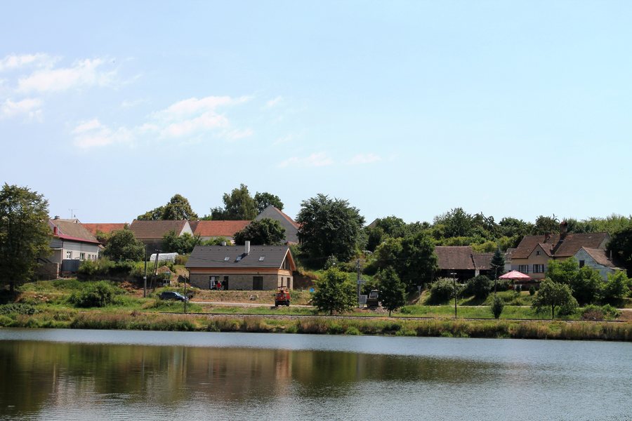 File:Černíč, pohled přes rybník (2013-07-24; 01).jpg
Photo: Harold via Wikimedia Commons, CC BY-SA 3.0
File:Černíč, pohled přes rybník (2013-07-24; 01).jpg
Photo: Harold via Wikimedia Commons, CC BY-SA 3.0
Nature and Landscape
Černíčský rybník lies in a valley at the confluence of the Moravská Dyje and the Myslůvka northwest of Černíč. The shallow through-flow lake is an important area for waterfowl in the open agricultural landscape.
Kleniční is a mountain in the vicinity of Černíč. Zadní Radlický vrch, Štamberk and Řásenský vrch are mountains in the surrounding area of Černíč.
Buildings and History
The bell tower in Černíč was built in the 19th century as a small brick structure to enhance the village square. The free-standing bell tower has a square ground plan; its bell chamber beneath a pyramidal roof is pierced by circular openings.
Tvrz Černíč is a tower-like building in a watermill complex on the Moravská Dyje below the dam of Černíčský rybník. It can be viewed partially from the outside; otherwise, it is closed to the public. A water fortress probably already stood here in the 14th century.
U Svatého Křiže is a church in the vicinity of Černíč. Roštejn [Doupě] is a château in the wider regional area around Černíč. Landštejn is a château in the wider regional area around Černíč, while Janštejn is a castle ruin in the wider regional area around Černíč.
Routes
The 34 km cycling tour “S kolem kolem Telče – 1. den” passes through Černíč. A green-marked hiking route is also listed for Černíč.
Other Places
Other places: Telc, Cejle, Suchá, Hostětice, Svojkovice, Smrčná, Hybrálec, Žatec Na Moravě.
For the higher-level travel overview: Jihlava District.

.jpg)