
Horní Myslová: Hotels and accommodations
Accommodation in Horní Myslová
Horní Myslová is located 3 km southwest of Telč and was first mentioned in written records in 1385. At that time, the village was owned by Šternberk Castle, which belonged to Jindřich of Hradec.
Geographical location
Horní Myslová lies at an elevation of 500 metres.
History
Horní Myslová remained part of the Telč estate until 1849.
Culture
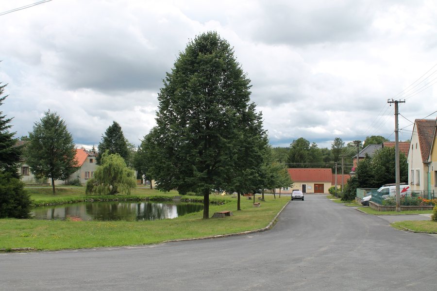
The bell tower and the crucifix on the village green in Horní Myslová are listed as cultural monuments under registration number ÚSKP 18071/7-4844. The Nechvátalův mlýn is a significant building in Horní Myslová. It is a small rural mill on the Myslůvka stream that was still in use in the 20th century. The mill retains milling equipment from the 1920s.
Landscape
Agricultural land covers 80% of the area of Horní Myslová, while woodland accounts for 11%. Marked cycle route 5124 also runs through the cadastral area of Horní Myslová.

.jpg)