
Počenice-Tetětice: Culture, Traditions and Landscape
Accommodation in Počenice-Tetětice
Počenice-Tetětice combines local history, traditions and connections to the landscape. Historical dates, architectural forms, local festival traditions and geographical relationships form different layers of the village.
Culture
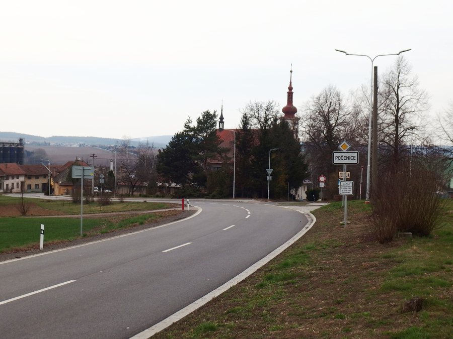
The first written mention of Počenice dates from 1283. The present Church of Saint Bartholomew is part of the historic building stock; it was erected in 1764–1768 on the site of the former Church of Saint Peter. Its layout comprises a single-nave nave, a western tower, an eastern presbytery area and a sacristy adjoining it to the north. The single-nave nave forms the main body; the western tower, the eastern presbytery area and the sacristy adjoining it to the north complete the spatial layout of the church.
Among the sights in Počenice-Tetětice is the statue of Saint Joseph in Počenice. Another historical reference is the significant archaeological site in and around Počenice. Finds from the Stone Age, the Bronze Age, the Lusatian culture and the later hillfort period have been discovered there. These different periods thus stand alongside the later architectural evidence of the village.
A distinct cultural dimension is represented by the long-standing carnival procession in Počenice. Masked participants, accompanied by two accordion players, make their way through the village. During the house visits of the carnival procession, the masked participants traditionally receive doughnuts and Boží milosti, a Czech carnival pastry. The procession, musical accompaniment, house visits and the two pastries mentioned are part of this local festival tradition.
In the southern part of Tetětice is the Chapel of the Guardian Angels with a bell tower. In addition, the mobile travel guide of the municipality of Počenice-Tetětice provides information on nearby sights, dining and services, as well as news about the region’s cultural and social events.
Landscape
Počenice lies at the confluence of the Uhřický potok and the Tištínka stream. On a broader geographical level, the municipality of Počenice-Tetětice lies in the foothills of the Chřiby at the transition between Hanna and the Orlovická vrchovina. Both references situate the village through its waterways as well as through the surrounding landscape areas.
North of the built-up edge of Tetětice, near the source of the Haná stream, there is a small forest with a small retention basin. This local landscape description thus links the edge of the village, the source of the Haná stream, the forest and the retention basin in a clearly defined spatial relationship.
When choosing a hotel in Počenice-Tetětice, you can compare the displayed offers with one another. Also pay attention to the included services and the breakdown of the price components. Read the booking and cancellation conditions of the respective offer in full. Especially when comparing prices, it is useful to consider the total amount and its components separately. When there are several offers, consistently checking these six points makes an objective comparison easier.
Other destinations: Sulimov, Brusne, Chropyně, Rymice, Slavkov Pod Hostýnem, Němčice, Střížovice, Šelešovice
To the overarching travel overview: Kroměříž District.

