
Apahida – Archaeological Traces and Landscape
Accommodation in Apahida
Apahida: Three princely graves were discovered here in 1889, 1968 and 1978; they are attributed to the Gepids. The burials date from the second half of the 5th century AD. Archaeological investigations conducted in 2016 interpreted the finds as isolated burials rather than an extensive, flat-ground Gepidic necropolis.
When comparing hotels in Apahida, you can first review the travel dates, room category and cancellation conditions side by side on the respective offer page. These three fields provide an objective basis for assessing the financial framework without distracting from the town’s cultural and landscape features.
Archaeology and Culture
The archaeological complexes of Apahida are located on the right bank of the Someșul Mic. Southeast of the village, in the valley of the Tarcea stream, lies the prehistoric settlement of Apahida–Fața Merezii. Northeast of the village is the Roman rural settlement of Apahida–Dealul Pădurița, located on Pădurița Hill near the Chibaia Plateau.
The Roman rural settlement of Apahida–Tarcea Mică comprised a main building and an annex; both were identified through archaeological investigations at the beginning of the 20th century. The main building measured 21.80 × 22.60 metres and had two rooms with hypocaust systems. Ceramic fragments, architectural elements and several coins dating from the first half of the 3rd century AD were found in the settlement. An archaeological site at kilometre 3.0–3.1 of the Apahida–Dej railway line lies north-northeast of the village, near a former gravel quarry.
The Roman coin hoard from Apahida, discovered in Valea Mărăloiu, comprised 1,068 coins, including two bronze coins and silver Roman denarii. It contained coins from the reign of Nero through the reign of Balbius and was buried around 240 AD.
The wooden church of the “Holy Archangels Michael and Gabriel” in Apahida is listed as a historic monument. It was built in 1806 by the carpenter Ioan Ghiran from Nadăș; in 1808, Ioan Pop from Ungurași painted it.
Landscape
Apahida lies on the floodplain and the right-bank terrace of the Someșul Mic, as well as on the northeast-facing slope of the 387-metre-high Maeru Hill. The Apahida area contains a rock-salt massif and saline springs; local residents have used their brine since ancient times. Apahida has strong traditions of fruit growing and vegetable cultivation and is known for its “ridichi de Apahida”, the radishes of Apahida.
When planning your visit, you can arrange the main themes according to your interests: the archaeological information, building history, landscape and regional traditions offer different perspectives on the same place. Combining different interests allows you to consider cultural themes and landscape aspects separately before deciding on your own travel priorities.
Further Impressions
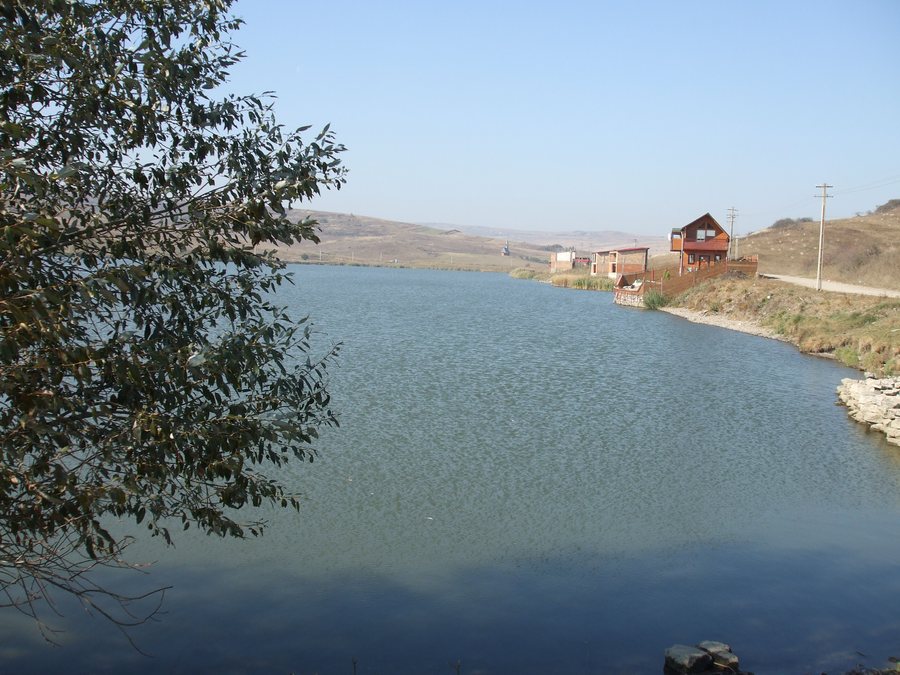
In the surrounding area, within the municipality of Apahida, the Câmpenești fishing complex comprises six lakes and offers sport fishing according to the catch-and-release principle and local angling rules. The nearby Sf. Nicolae Sânnicoară village museum in the municipality of Apahida displays a collection of 200 traditional exhibits, including traditional costumes, looms, ceramics, a wool-spinning machine and a farmhouse bed.
Further Destinations
Further destinations for your regional research: Moldovenești, Bica, Câmpia Turzii, Jucu de Sus, Turda, Petreștii De Jos, Floreşti, Valea Drăganului
For the overarching travel overview: Cluj-Napoca.

