
Trei Sate on the Târnava Mică
Accommodation in Trei Sate
Trei Sate, also known as Hármasfalu, lies on the right bank of the Târnava Mică. The present-day settlement was established in 1950 through the merger of the three villages of Cioc, Hotești and Ștefănești.
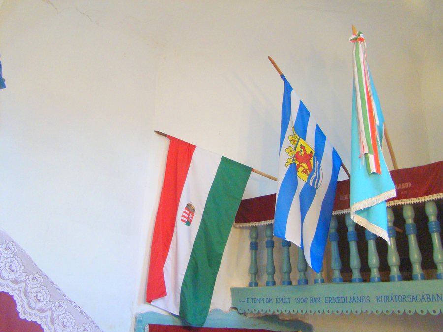 File:RO MS Biserica reformata din Trei Sate (fostul sat Cioc) (14).jpg
Photo: Țetcu Mircea Rareș via Wikimedia Commons, CC BY-SA 4.0
File:RO MS Biserica reformata din Trei Sate (fostul sat Cioc) (14).jpg
Photo: Țetcu Mircea Rareș via Wikimedia Commons, CC BY-SA 4.0
History and Culture
Hotești has been documented since 1567. The Reformed church in Hotești was built between 1819 and 1821 and contains a communion table made in 1785. Thus, at one location, both the construction period of the church and an older 18th-century furnishing are central features.
At the Reformed church in Ștefănești, the nave was demolished and enlarged in 1890, while the tower was preserved; the year 1872 is visible on the tower. The church therefore preserves traces of different architectural periods: the surviving tower and the altered nave belong to the same historically documented complex.
The Barátosi Manor in Ștefănești was built in the 18th century. Its façade is 17 metres wide and has a central porch supported by stone columns. When viewing the building, its date, precise façade width and clearly described central feature combine to form a detailed architectural picture.
The Hotești Village Museum is housed in a Reformed parsonage built in the 19th century. In the wider regional surroundings of Trei Sate lies the Biserica Cireşeni church. The historical references thus encompass religious buildings, a manor and a museum in a former parsonage, without reducing these examples to the same type of building.
Traditional handwoven waistcoats from Hármasfalu were made using a two-shaft weaving technique in which red warp yarn was interwoven with black yarn.
Landscape and Route
The Firtos-tető summit lies in the wider regional surroundings of Trei Sate. The Vârful Aramei summit lies in the wider regional surroundings of Trei Sate. The Vârful Pietros summit lies in the wider regional surroundings of Trei Sate. The Vârful Stejarului summit lies in the wider regional surroundings of Trei Sate. The four names thus form an independent landscape reference level alongside the settlement on the riverbank.
The DN13A is 130 kilometres long and connects Miercurea Ciuc with Bălăușeri at the E60/DN13. Its length and the two named connecting points provide a specific sense of scale for the interurban road link.
Anyone comparing Trei Sate for a trip focused on culture and landscape can initially compare travel dates, room category and cancellation conditions when choosing a hotel. This keeps the named churches, museum, manor, river setting and summits at the centre, while the accommodation decision is made based on the conditions actually required. The cultural and landscape highlights can thus be considered independently of one another, without assuming a fixed order or a specific daily itinerary.
Other Places
Other places: Schaas, Sowata, Gheorghe Doja, Săcalu De Pădure, Burgfeld, Reen, Sângeorgiu De Mureş, Saschiz
For the higher-level travel overview: Mures.

_(14).jpg)