
Băicoi between Churches, Lakes and History
Accommodation in Băicoi
Băicoi lies at the transition from the Carpathian foothills of the Prahova Bend to the Ploiești Plain. Those who do not wish to view the town through a single focus can consider its landscape, the history of its churches and manor houses, and the beginnings of oil production side by side.
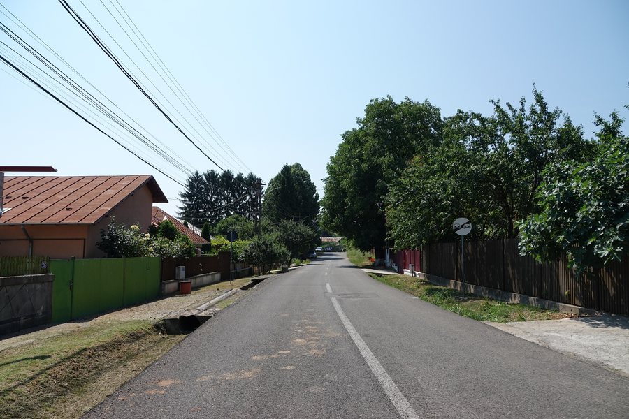
Landscape
Near Valea Stelii, Lake Seninu has a surface area of 1,515 m², a depth of 1.20 to 1.50 m, and a high content of chlorine, iodine and bromine. The nearby sapropelic mud lake near Valea Stelii has a surface area of 228 m² and a depth of 0.8 m. The two lakes were prepared for treatments because of their mineral content and the organisms living in the mud, creating an area for spa tourism. The specific surface-area and depth figures provide an objective basis for comparison, while the mineral content and mud organisms offer two different perspectives from the natural sciences.
Culture
The Church of “Sf. Anton și Sf. Împărați” in Băicoi was built by Cleopatra Trubetzkoi and is listed under number 2371 in the List of Historical Monuments. The Church of “Sfinţii Împăraţi” was founded by Cleopatra Trubeţkoi between 1848 and 1853. It preserves imperial icons and twelve Prăznicare painted by Nicolae Grigorescu. After the completion of the painting, it was consecrated in the same year, 1853, and opened for the faithful to worship. The present-day Church of “Sf. Împărați” – Hagica din Băcioi was built in 1872. In the Dâmbu district stands Biserica Cioara, a plastered wooden building erected around 1790 as a place of prayer.
History
The boyar manor house associated with Cleopatra Trubețkoi was built between 1838 and 1845 in the neoclassical style. The manor house chapel, built in the neo-Gothic style, is associated with the years 1787 and 1828; today, it is a ruin. A former chapel of Princess Cleopatra Trubeţkoi’s manor house became a parish church with the patronage of Adormirea Maicii Domnului and Sfântul Serafim de Sarov. Oil production began in Țintea in 1864 with drilling. The different architectural forms and dates provide a chronological and architectural framework for the town’s cultural history.
Getting Around
Băicoi lies on the Romanian national road DN 1. A cycling tour leads from Florești through Păulești and other places in Prahova County to the churches of Băicoi. The road location and the specified cycling route describe two different ways of placing the town geographically: one via a national transport artery, the other via a route with several stops in the county.
When planning accommodation in Băicoi, you can compare travel dates, room categories and cancellation policies side by side. Such a comparison makes the decision transparent on the basis of specific details, while nature, history and the cycling route provide different thematic focuses.
Other Places
Câmpina, Talea, Provița de Sus, Adunaţi, Aluniş, Boldești-Scăeni, Azuga, Blejoi
For the overarching travel overview: Prahova.

.01.jpg)