
Fântânele: Landscape, History and Sacred Architecture
Accommodation in Fântânele
Fântânele lies on the left slope of the Danube Valley. The location between slope, valley and plain forms the geographical setting for a place whose history dates back to the Early Middle Ages. As a result, the townscape brings together landscape references and different historical periods.
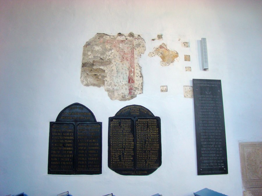 File:RO MS Biserica reformată din Fântânele (10).jpg
Photo: Țetcu Mircea Rareș via Wikimedia Commons, CC BY-SA 4.0
File:RO MS Biserica reformată din Fântânele (10).jpg
Photo: Țetcu Mircea Rareș via Wikimedia Commons, CC BY-SA 4.0
Geographical Setting
National road DN 51A between Zimnicea and Turnu Măgurele crosses Fântânele from east to west. The La Tène necropolis of Fântânele also has a clear spatial connection: it lies east of the village, on the right-hand side of the road from Turnu Măgurele to Zimnicea. The road layout and the location of the necropolis thus describe two different spatial relationships around the village.
History
The medieval settlement of Fântânele is dated to the Early Middle Ages, more precisely to the 10th century. Another historical reference point is the La Tène necropolis, a hill-shaped Geto-Dacian burial site from the 4th century BC. The necropolis therefore belongs to a considerably earlier period than the medieval settlement and supplements its historical classification with an archaeological reference.
Culture
The present-day Church of the Dormition of the Mother of God in Fântânele was built in 1987 and consecrated on September 30, 1990. It has a cruciform floor plan made of brick and a porch in the Brâncovenesc style, supported by four columns. It also bears the patronage of an older church that has since fallen into disrepair. The year of construction, date of consecration and architectural features are just as much part of the church's history as its connection with its older predecessor.
A monument to the heroes in the churchyard of Fântânele commemorates the heroes who died in the two world wars. Thus, alongside the church, the townscape also brings together architectural history and remembrance.
Landscape
Until 1930, the original village center was located on the northern shore of Balta Suhaia; afterward, the settlement began to shift onto the plain along the road from Zimnicea to Turnu Măgurele. The name Fântânele is associated with numerous springs that emerged at the foot of the slope in the Danube Valley. The development of the village therefore encompasses both its earlier connection to the northern shore and its later orientation toward the plain and the road.
Later, the springs were enclosed by channels and stone basins and given the names “La tuturca” and “Fântâna lui Tudorcea,” respectively. The shore, slope, plain and valley are therefore among the defining geographical features of the place. The two spring names preserve a distinct local designation within this landscape history.
Local Tradition
Fântânele is one of the villages in Teleorman County where the term “bradoși” is used for this culinary tradition. This local culinary term adds an expression of regional everyday tradition to the village’s historical, ecclesiastical and landscape references.
Other Places
Practical Accommodation Information
When comparing hotels in Fântânele, you can review travel dates, room category and cancellation policies side by side. This information helps you clearly organize the time and financial parameters of your stay and objectively compare different options. Especially when planning with a focus on price, this keeps your desired travel dates and the conditions of the respective room choice visible separately.
La Nașu Guesthouse in Fântânele offers camping and parking spaces for caravans by prior arrangement.
For the higher-level travel overview: Teleorman.

.jpg)