
Ľuboriečka: Cultural Heritage and Nature in the Ipeľ Basin – Hotels
Accommodation in Ľuboriečka
Ľuboriečka combines a clearly recognisable geographical setting with preserved rural cultural heritage and several special sites in the surrounding area. Between the valley of the Ľuboreč stream, wooded slopes and historic traces, a varied picture of a Slovak village emerges.
Landscape
Ľuboriečka lies on the eastern edge of the Ipeľ Basin in the valley of the Ľuboreč stream. The higher eastern part of the village is covered by oak and hornbeam forests. The cadastral area also contains a mineral spring. The location, watercourse, woodland and spring are therefore objectively identifiable features of the village, without having to be combined into a single landscape form.
Culture and Local History
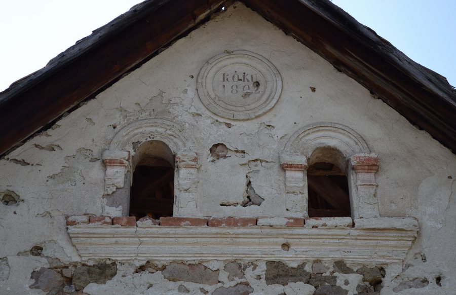
The village landscape includes preserved folk houses and farm buildings from the 19th and early 20th centuries. A masonry bell tower dating from around 1800 stands in the village centre. Its ground plan is square, and its sound openings have semicircular tops. The bell tower is in good condition and continues to serve its purpose. The cemetery also contains a small wooden bell tower with a bell dating from 1845.
A memorial plaque in Ľuboriečka commemorates those who fell in 1945. The local cultural heritage also includes a folk house with period furnishings, clothing and work tools. The area around Ľuboriečka also contains the remains of a wooden manor house, beneath which family crypts are located. These individual traces range from village architecture and memorial sites to evidence of earlier family and working life.
Nature and Early Traces
Pecna Cave is 6.1 m long; its first written mention dates from 1826. Its entrance is located on the wooded slope of the eponymous Pecna Hill, sometimes also called Pekna, on the eastern edge of Ľuboriečka at an elevation of about 265 m. The cave probably formed through the weathering of the trunk of a fossilised tree in coarse andesite conglomerates.
The surrounding area also preserves evidence of times far in the past. The remains of a sand quarry are associated with a site containing finds from prehistoric inhabitants and marine animals, including sharks. Vysoká Mountain is designated as a prehistoric settlement and archaeological site. These references each represent distinct archaeological and landscape sites and supplement the local history with geological and prehistoric traces.
Spiritual Sites
The Church of the Mother of the Eucharist, built in 1994, stands in the settlement of Osušie. There is also a chapel in the Osušie complex. Both sites are among the named religious destinations in the vicinity of Ľuboriečka.
There are two bus stops in Ľuboriečka along Road 2609, providing a connection with the wider surroundings. Bus services connect the village with neighbouring municipalities and the towns of Veľký Krtíš and Lučenec. Thus, in addition to the local cultural and natural sites, regional connections are explicitly part of the village infrastructure.
You can access additional village pages via Malý Krtíš, Dačov Lom, Chrťany, Malá Čalomija, Malé Zlievce, Lesenice, Horná Strehová and Slovenské Ďarmoty.
For the higher-level travel overview: Veľký Krtíš District.

.jpg)