
Kamenná Poruba: Mountain Landscape, Church and Trails
Accommodation in Kamenná Poruba
Kamenná Poruba is a place whose character can be understood through its history, landscape and culture. Specific points of reference can be found in the history of the village, its religious buildings and the surrounding area.
History
Kamenná Poruba was first mentioned in a document in 1368, under the historical name Stephanburbaya. This documentary reference is the earliest written record relating to the place and provides today’s municipality with a precise historical starting point.
Landscape
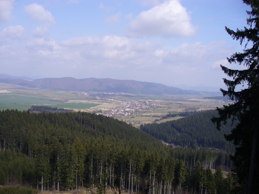
The location beneath the ridges of the Lúčanská Malá Fatra defines the landscape setting of Kamenná Poruba. The Porubský potok stream flows through the Porubská dolina valley. On the outskirts of Rajecké Teplice, it flows into the Rajčianka River. This means that the watercourse can be associated not only with the Porubská dolina valley, but also with its further course to the point where it enters the river near Rajecké Teplice. The village and the watercourse are therefore part of a geographical sequence extending from the valley through the surroundings of Kamenná Poruba to the edge of the neighbouring town.
Culture
The focal point of the local cultural heritage is the Roman Catholic Neo-Gothic Church of All Saints. It was built in 1860 on the site of an original Gothic church dating from the 14th century. At the same time, it is the only registered national cultural monument in Kamenná Poruba. Its construction date, predecessor building and heritage-protection status are all linked to one place: the present church refers to an older religious building and holds a special historical position within the village.
Outside the village stands a masonry chapel dedicated to Saint John of Nepomuk. It is located on a hill in a field, beside the old field road from Kamenná Poruba to Stránske. Its precise location connects the small building with the open landscape outside the settlement and with the historically named road to Stránske, without the chapel itself being part of the village centre.
Trails and access
Access to Kamenná Poruba is via a Class III road from Rajecké Teplice through Konská. For routes in the local area, the municipality recommends marked hiking and cycling trails to visitors. A local map also covers the roads, trails and local geographical names in the immediate surroundings of Kamenná Poruba. These three references concern different levels of orientation: access to the village, marked trails for hiking and cycling tours, and the detailed naming of the immediate surroundings on a map.
An annual recurring event
At Bačíkovou skala in the cadastral area of Kamenná Poruba, a traditional outdoor Mass is celebrated on the occasion of the Feast of Saints Cyril and Methodius. The Mass takes place every year and brings together local residents, families, friends and visitors from the surrounding area. The event therefore has a fixed recurring occasion, a precisely named location and an open circle of participants. Bačíkovou skala is not a general place name at the centre of the municipality, but is expressly identified as being in the cadastral area of Kamenná Poruba.
When comparing hotels in Kamenná Poruba, pay particular attention to the specific booking fields on each offer page. Included services, price components, and booking and cancellation conditions may likewise be presented differently across offers. Reviewing these points helps you compare the options transparently side by side, without relying on general labels.
More places: Teplička Nad Váhom, Fačkov, Jasenové, Čičmany, Terchová, Bitarová, Stráža, Kunerad.
For the higher-level travel overview: Žilina District.

