
Šanov: Hotels and Accommodation
Accommodation in Šanov
Šanov lies in a deep valley on the Rakovnický potok stream. The geographical location connects the town with a landscape of mountains, hills and trails, as well as with cultural and historical destinations in the surrounding region.
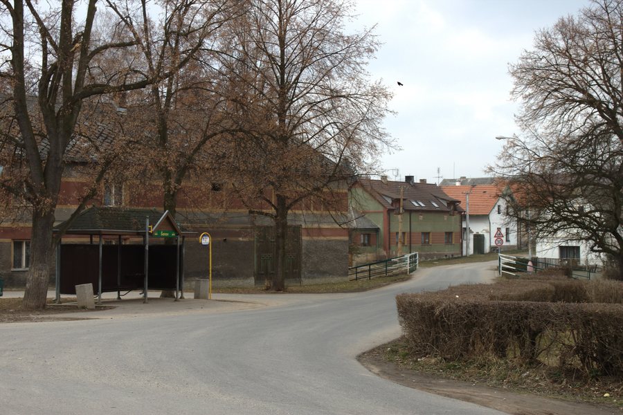 File:Šanov, autobusová zastávka.jpg
Photo: I would appreciate being notified if you use my work outside Wikimedia. More of my work can be found in my personal gallery . via Source, CC BY 3.0
File:Šanov, autobusová zastávka.jpg
Photo: I would appreciate being notified if you use my work outside Wikimedia. More of my work can be found in my personal gallery . via Source, CC BY 3.0
Landscape
Loustín is a mountain in the vicinity of Šanov. Džbán is a mountain in the wider regional surroundings of Šanov. Na Plánci [Lubná u Rakovníka] is a hill in the immediate vicinity of Šanov. Senecká hora W [Senec u Rakovníka] is also a hill in the immediate vicinity of Šanov.
Culture and History
The Church of the Assumption of the Virgin Mary in Šanov is Baroque. U Svatého Gotharda is a church in the vicinity of Šanov. The wider regional surroundings of Šanov also include the Týřov ruins and the Zřícenina Pravda ruins. Svatý Prokop is a monument there.
Getting Around
The Senomaty–Šanov hike follows the green KČT hiking trail no. 3100 and is approximately 9 kilometres long. The Berounka–Střela Greenway connects the Střela and Berounka rivers and passes through Šanov.
Arrival
At the Šanov railway station or stop, the building or passenger shelter is step-free accessible.
Other Location Pages
Other location pages: Kolešovice, Nový Dům, Kalivody, Hvozd U Rakovníka, Mšecké Žehrovice, Řevničov, Pustověty, Hořesedly.
To the higher-level travel overview: Okres Rakovník.

